This is the first year without my kids for Thanksgiving, so we pushed our normal family gathering to Friday when my kids could participate. This left me with a wide open Thursday.
Like. Wide. Open.
What better way to get out of my head than get out on the bike for a full day of riding. I had a couple of routing ideas depending on how I was feeling- so I pieced together a really challenging route knowing that it would take a really perfect day to get it done. I also had a couple of easier options in my head just in case my body just wouldn't perform. At the end of the day, I ended up doing my middle option, and it ended up being just about perfect. I'll have to keep that big route in mind for when I have any semblance of climbing ability...
 |
| Another sunrise. Spectacular. In spite of everything, I have so much to be thankful for. |
 |
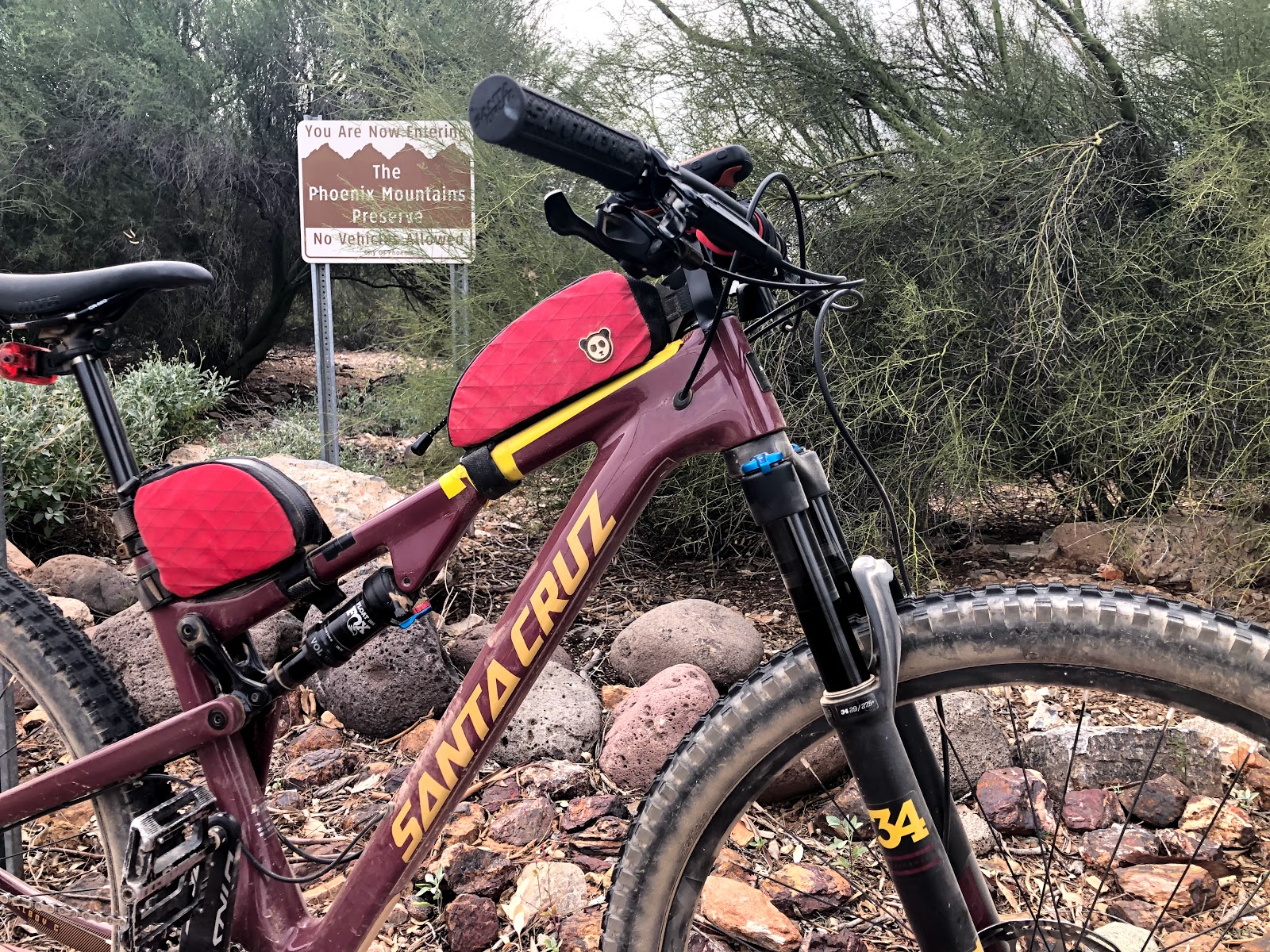
| Gravel grind near Deem Hills with a few little punchy climbs to get the heart going on the way to PSP. |
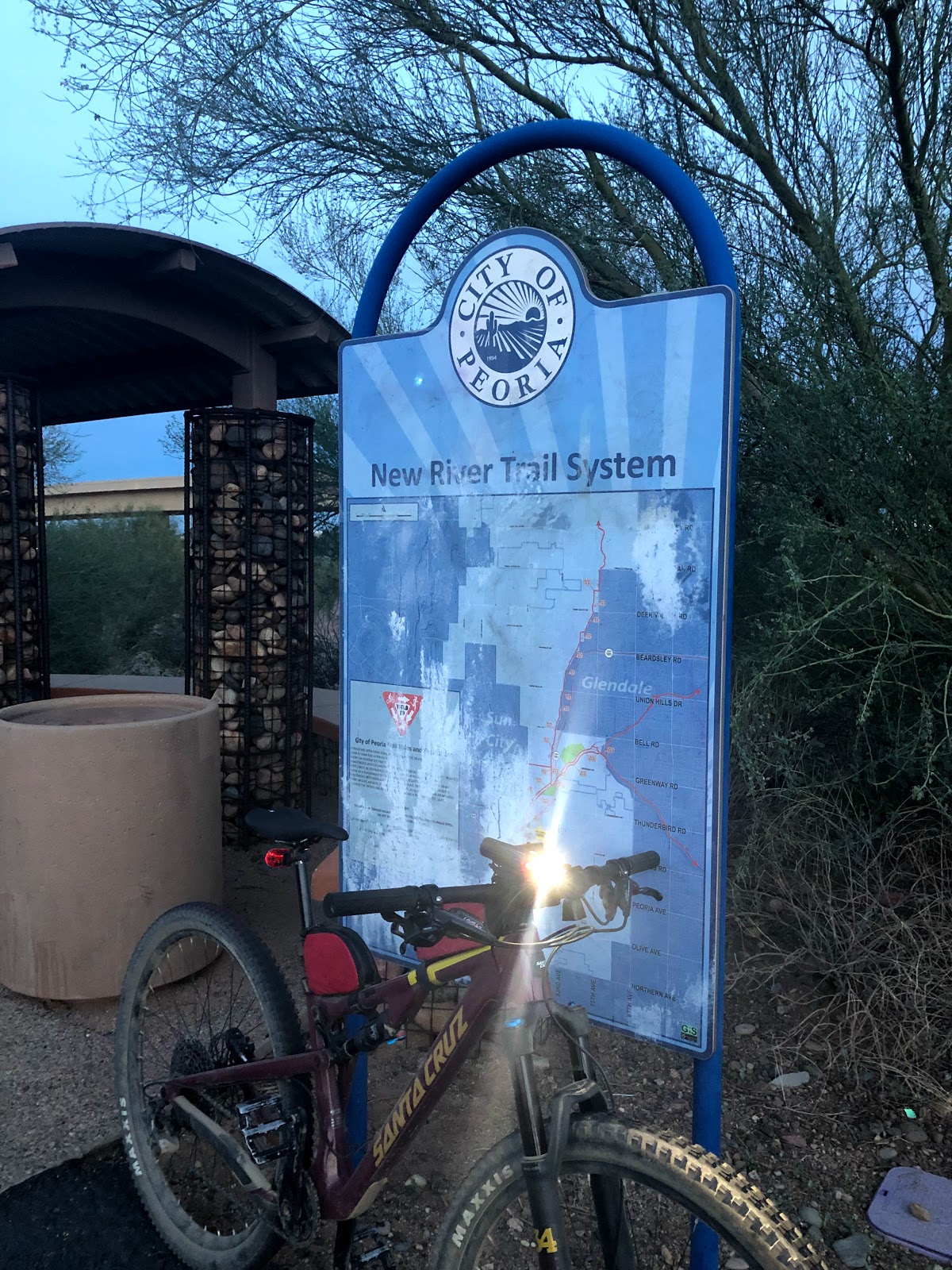
I started from my house and got on some flat gravel paths that parallel the CAP canal. This path skirts along the northern edge of Deem Hills. I briefly thought about mixing in some of the trails there, but thought better of it. I wanted to be at this all day and most of the riding there isn't super easy, so I just bypassed it on the way to Phoenix Sonoran Preserve.
 |
| Near the Desert Vista trailhead. |
Again here at PSP I had a ton of trails that I could have gotten into but I was really just more concerned with getting up to Spur Cross in Cave Creek. So I took a pretty easy (read: limit the climbing as much as possible) route from the south loops across to the Apache Wash area where I would ride the flats and access the cave creek / spur cross trails.
 |
| Plenty of hot air balloons out this morning. Reminders of the past. |
 |
| Super fast and pretty singletrack through here. |
 |
| My first time crossing under Carefree Highway since they built this. |
 |
| Woah - this was right after passing under the bridge. So pretty. |
 |
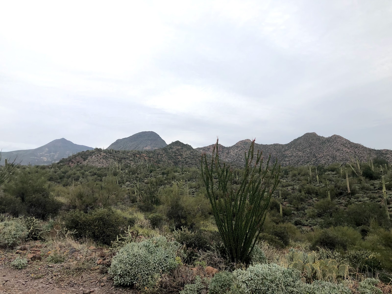
| Another wtf moment. Felt like I was passing into another world here. This kind of vegetation/trail combo is rare here in the lower deserts. |
I ended up linking in to the Flume trail and then into Slate trail. I would do this section again near the end of this loop. I've only done this section once before and it was really fun, but had a couple steep/loose transitions that had me hopping off the bike to avoid burning matches I would need later.
 |
| I always seem to take a picture here. |
 |
| Just a little bit of water here in Cave Creek |
 |
| A view from the top of Surrey Hill. Wow that reroute is steep af! |
I ate a small snack and bombed down the pavement to Cave Creek Road. This normally very busy area was uncharacteristically quiet due to the holiday. I took the opportunity to take a very necessary photo:
 |
| Serious. |
Time for the road grind up to the Spur Cross trailhead. I was feeling it a bit on this climb. It's nothing really, but it is sustained. Right around here I mentally bailed out of my HUGE route option. I was still in on the middle one.
I passed the parking area and was surprised to see so many cars. Then I arrived at the pay station and was shocked it was staffed. I was happy I remembered about the three dollar entry fee and had thrown some cash in my pack. I paid my fee and got started. The climb from the pay station to the split was surprisingly hard. I took a short break there to catch my breath...
 |
| Don't forget to breath... |
The next bit of trail is just fantastic and very pretty. I ran into 5 other trail users on this bit to the top of the spur cross climb. That is pretty unheard of here so I was happy to enjoy the solitude. That said, this climb was wrecking me. I used to be able to get to the top without stopping, but I had to take a couple breaks this time on the way up. I was also getting hungry, but wanted to get to the top first...
 |
| Wonderful trail routing with sweet views |
 |
| Pretty sure this was a "stop to breath" break |
Eventually, the top of the climb was achieved and it was time for a late breakfast...
 |
| Not really a traditional Thanksgiving food, but burritos give mountain bikers superpowers. |
 |
| Feeling better already. Shouldn't have eaten the whole thing, but I did. #fatkidproblems |
I enjoyed my quiet time up here, eating and just reflecting on the past year. I reapplied sunscreen (even though it was mostly cloudy most of the day) and sent out some texts and an instagram post since I had service.
I immediately regretted my decision to eat the entire burrito during the descent from the top. It's rocky and kinda rough. Then it gets quick and you can push the pace a bit after the rocks clear up. Two cattle scared me as I was blowing through as they were laying under a tree and they were starting to stand as I approached. Right after this, two riders came up behind me and I let them pass. I ended up catching up to them right before the re-route section started. I stopped and said hi and told them I was just gonna hang there because I didn't want them to have to pass me again. We talked bikes for a few minutes then they were off. I let them go and that was the last time I saw them.
 |
| Chain lube break |
 |
| This descent is a blast. Normally choked with horses, there were none to be found today. |
I didn't want to take the surrey hill section of trail again, so I opted to take the other cave creek trails out towards Cave Creek Road. Stopped, re-upped the sunscreen, lubed the chain and then got ready to go full roadie.
 |
| Last bit of Cave Creek dirt before hitting Cave Creek Road. |
It was about 20 miles of road riding to reach the Tatum and Shea trailhead with a brief jaunt on a portion of Reach 11 in order to access the bike path that parallels state route 51.
 |
| A little flat dirt to break up the pavement. Reach 11 provides an easy path under the 101 and links directly to the bike path the parallels the 51. |
 |
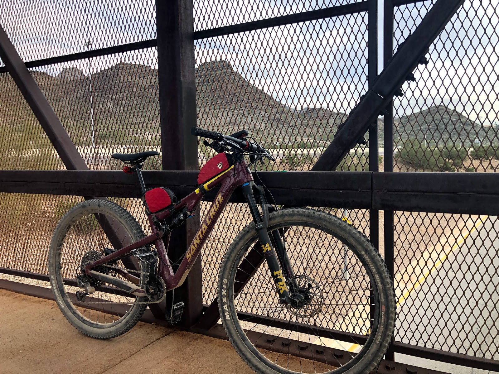
| There are a series of bridges that pass over roads and even the freeway. |
 |
| Trailhead just south of Tatum and Shea |
 |
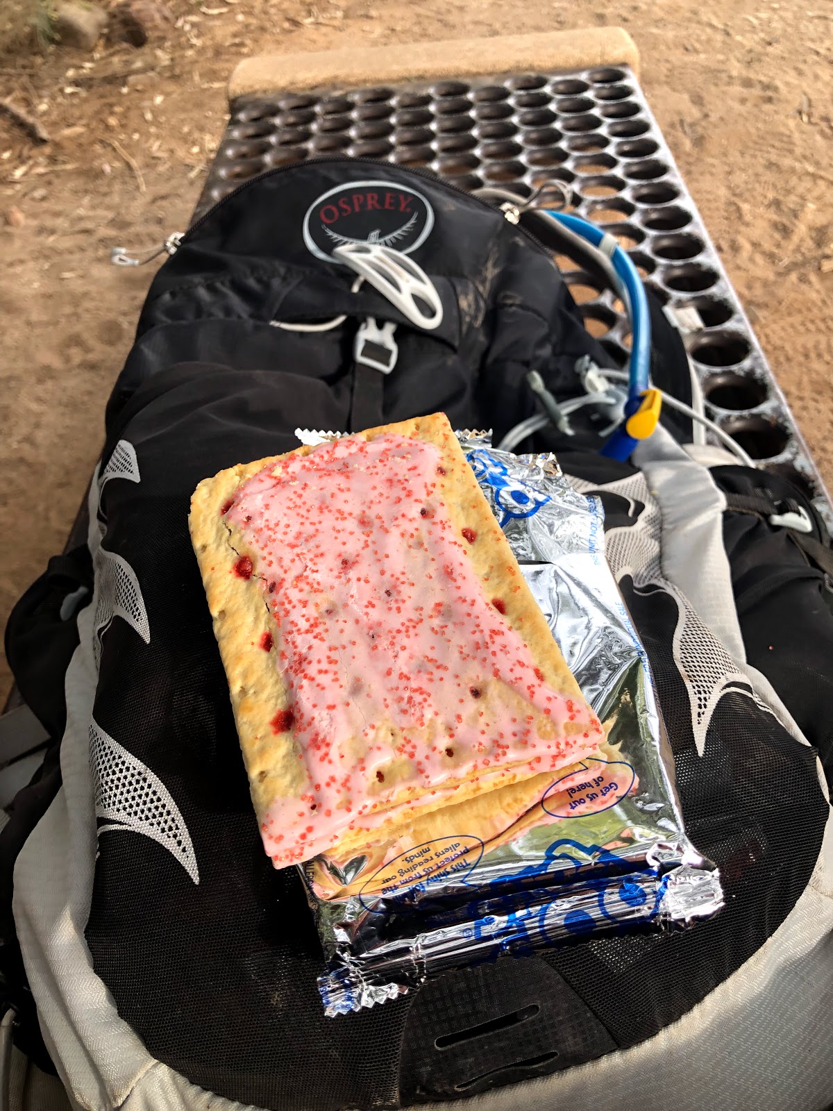
| Poptart refuel break. |
I think it was around 3:30 when I got started on the westbound T100 jaunt. I had wanted to go coast to coast, but I was starting to be "done" and the easy bailout at dreamy draw to get to the canal was too good to pass up. I knew I still had close to 25 miles to get to my mom's house where there was a small gathering of family - we were going to celebrate on Friday with the whole family since I would have my kids that day - so I made the call to just get there so I could hang out and eat some early Thanksgiving goodness.
 |
| Bridge at Dreamy Draw. I was cooked. |
 |
| I've had enough. Let's get home. |
 |
| Easy riding through the slope. Flat except for the underpasses. |
 |
| Yeah, you can ride next to the water in Phoenix :) |
 |
| Castle's 'n Coasters was open which surprised me. You can hear the screams for a long distance after you pass. |
 |
| I have bittersweet memories of the Sea Dragon. |
 |
| The sunset didn't quiet match the sunrise from the morning, but still solid. |
 |
| This is at Rio Vista park. |
 |
| Donning lights for the final push to my mom's |
 |
| After a shower and some clean clothes and some delicious food, it's play and cuddle time with my nephews. Oh and #sillyface |
All in all it was a really good day on the bike. No body or bike issues - well other than I am heavier than I should be and I have zero climbing legs. I'm guessing those two things are related. Whatever though. As bad as my fitness is, I'm still thankful that I have the fitness and gear to be able to go out all day. Anytime you can start a ride at sunrise and finish at/after sunset is a day to cherish.


No comments:
Post a Comment