Earlier this year, I was shocked when I was contemplating doing an ultra... after last fall's attempt at trying to get to Utah from Picketpost I figured I was done for a while, but here I was thinking about giving the AZTR 300 a go during the grand depart that was scheduled in October 2020. I think maybe my brain was mentally fried from the Covid-19 craziness and I needed an escape - an escape from reality. I needed a more positive outlet, I needed to go through the planning and maybe scheme a way to get to Picketpost faster than I did in 2017. I think maybe I was also a little bit mad and disappointed that I quit in Flagstaff last year. It was the right call, but it still hurt to pull the plug when I did.
So I proceeded to head out to the AES rides - I started the year with the Antelope Peak Challenge, followed up by the Ripsey short course. Ripsey was the last event that was officially held, as the lockdowns basically started the following week. That being said, I still followed the AES schedule and did ITTs on the Prescott Circle Trail and then the Sedona BFL which I bailed out on after completing most of the route.
Other than those rides, I got outside rarely and the vast majority of my training has been indoors. This has been a bit of a compromise for me. It allows me to spend more time with my kids first and foremost. Secondly, it keeps me out of the sun which is important for me as I have a history of melanoma. Three years clear now btw! Get your skin checked every year people! If you are reading this, chances are you either know me or love being outside. Please get yourself checked. Early detection saves lives!
I did do a few other random "big" days that ranged between 6-11 hours, but that was it. So per the usual, I rely heavily on HTFU to allow me to do silly rides. And I would rely on it quite a bit on this ride.
For those who don't know, this is a bikepacking stage route - slightly different from the normal format. There are stage stops where everyone gathers at the end of each day, instead of people just riding and stopping at a point that they choose. This is cool because it allows for riders of all levels to hang out at the end of each day (well if you are fast enough to get there when they are still awake haha!). This also helps to dangle a carrot to riders... knowing there is an "end point" to the day is intriguing.
That said, this is still self supported bikepacking, so you are responsible for yourself. Bring what you need or find it at public establishments available to all. Be responsible, there is a lot of "you're in the middle of nowhere" on this route, and you need to be able to navigate, procure food and water, fix your bike or be ready to walk for a long time if you can't repair it. Bottom line, do it yourself, under your own power.
Day 1 - Flagstaff to Sedona Overlook.
The ride starts officially at "The Place" right on the main drag in Flagstaff. There isn't an official start time, so I rolled into town around 8:30. I had planned to park at the Walmart but when I got in the lot, there were a ton of NO OVER NIGHT PARKING, NO CAMPING, etc. signs. So I went across the street and parked at the Motel 6 lol where I saw zero signs. Of course, there were a ton of cars that looked like they were camping or whatever at Walmart, but I really didn't want to chance it. Threw on my gear and started to ride to The Place and I randomly checked my toptube bag and realized I didn't have my phone. That would have been really below average. I would have realized it sooner than later, but that would have been annoying.
I rode through the NAU campus to avoid the main drag even though the traffic wasn't too terrible - got to the start thinking John might be right behind be as he thought he would be starting at 9am or so. I waited for a few minutes just in case, but ended up taking off at 9:15.
 |
Fancy Start Location ;)
|
 |
Beautiful, sunshine filled morning. Pleasant temps, but warmer than it should be.
|
 |
Felt like I was just here - I was, just last year and going the other way
|
It was really mellow riding, a perfect start to the day and a total trip down memory lane from my last trip through here last fall.
Riding through Walnut Canyon is pretty, and there has been some great work on the climb out. It's very rideable now, though I still hiked some just to save some energy in my legs given it's a long day.
 |
Example of it being just chunky/steep enough to walk and save energy.
|
 |
Emerging from the canyon, the singletrack is just fantastic.
|
 |
Beard with more grey than ever. Old AF!
|
 |
First AZT supergate of the day!
|
On to Anderson Mesa. it is what it is, bumpy and post holed by cattle and rocky. It can be other things too, like bed of death mud or super windy. I was just glad it was dry and only light breezes.
 |
Little technical section with views of Lake Mary
|
I passed Lee Blackwell on the trail, we talked a bit while navigating the bumps. I had never met him, just heard his name in bikepacking lore. I think he ended up taking a little nap after we departed at a gate.
There are some really nice singletrack bits in there, it's not all terrible. And it eventually spits you out to some really nice trail as you can see:
From here, it is mostly good jeep roads until crossing under I-17 at Schnebly Hill Rd. I was feeling really good.
I arrived at the ADOT yard and proceeded to look for the water spigot. I tried one, but it wasn't on. Scott was pulling right up and he showed me the correct one. Loaded up a couple of trail magic beers and then got ready to head up to our camp for the night. Right on cue, Schilling rolled up, and I pointed him to the spigot and then told him I'd see him in a few.
There were a couple climbs heading up to camp, and then a final rugged uphill approach to our camp spot. I scouted out a spot to sleep (really rocky up there) but found a suitable place, then settled in for hang time and the nature show.
 |
We started at the peaks way in the background
|
 |
Lights from Sedona.
|
We had a good time chatting and watching the sun disappear. There was some apprehension about the next day. It was gonna be way above normal for temps, forecast for low 90's which is rough for bikepacking. But that's tomorrow, time to enjoy the moment. I hopped onto my pad and in my bag and just marveled at the sky for a bit. There was no moon, so the heavens were just dramatic. Woke up a couple times during the night, but I slept well overall.
Day 1 - 54 miles and about 8 hours
Day 2 - Sedona Overlook to top of Mingus Mountain
I started to stir when the sky was lighting up with its first light. I felt great, this descent down to Sedona had me a little apprehensive - it was supposed to be a bit technical, and while there were of course some bits of walking here and there for some "iffy" spots, it was really a fun descent down into town for some breakfast and resupply at the Circle K.
 |
Heck of a view for a quick little bite of food before dropping way down there.
|
 |
This seemed out of place in the red rocks, but here it is just after starting the descent.
|
 |
Sun hitting the tops of the outcroppings.
|
 |
Cool little slickrock area with some green stagnant water pooled up in one of the depressions.
|
 |
I love how these signs look. I've never ridden hangover - not sure if I would be into it...
|
 |
Last picture just before the sun would be hitting us all day and right before hitting the road.
|
I caught a glimpse of Schilling but then I had to stop for a set of hikers so lost him again. I knew I'd see him at the Circle K. A few more little fun features were had, then the trail spit us out to a parking area and pavement. I pulled over for a split second and Denny cruised on by. The three of us got supplies at the store while taking turns watching the bikes. Then it was on to the vortex of Sedona red rocks.
I found JS again on Templeton by the underpass, we took a little snack break in the shade and then he went off route to get a pump since the one he had with him was non-functional. You don't really want to be out on this route without one, so it was necessary. I wondered how long I could stay in front of him, so with that in mind, off I went.
 |
It was very busy around Cathedral Rock, but everyone was in a good mood today.
|
Eventually, you drop down and get to ride next Oak Creek for a few minutes. So pretty down there, and it was nice to be in the shade for a few minutes.
After rising up from Oak creek, there is a short ride on Baldwin Trail. There is some fun stuff in here but I was ready for a break and a water refill at Red Rock State Park. Paid my four dollars to be legit and in I went.
 |
This bridge can be mandatory at times when Oak Creek is running huge.
|
I stopped at the visitor center and filled up my water and ate a snack and headed out. As I was exiting the park for good, there was another restroom that was a bit bigger than the one in the actual park. I stopped in and they had a big utility sink in there. I used the opportunity to get cleaned up a bit more and wash a few clothing items.
 |
Dirtbag biker status
|
With that behind me, it was time for Lime Kiln. This trail has a mixed reputation depending on the year it seems. It can be hard to follow, sandy and long. It was really only one of those things. Long. It was definitely warming up, but due to lack of rain, all the vegetation was at bay - including goatheads. Sand was not really an issue at all either. I came in expecting the worst and left pleasantly surprised.
 |
| Trail looks good at the start! |
 |
| I knew there was a HAB coming up, and here it is. It's not too bad. |
 |
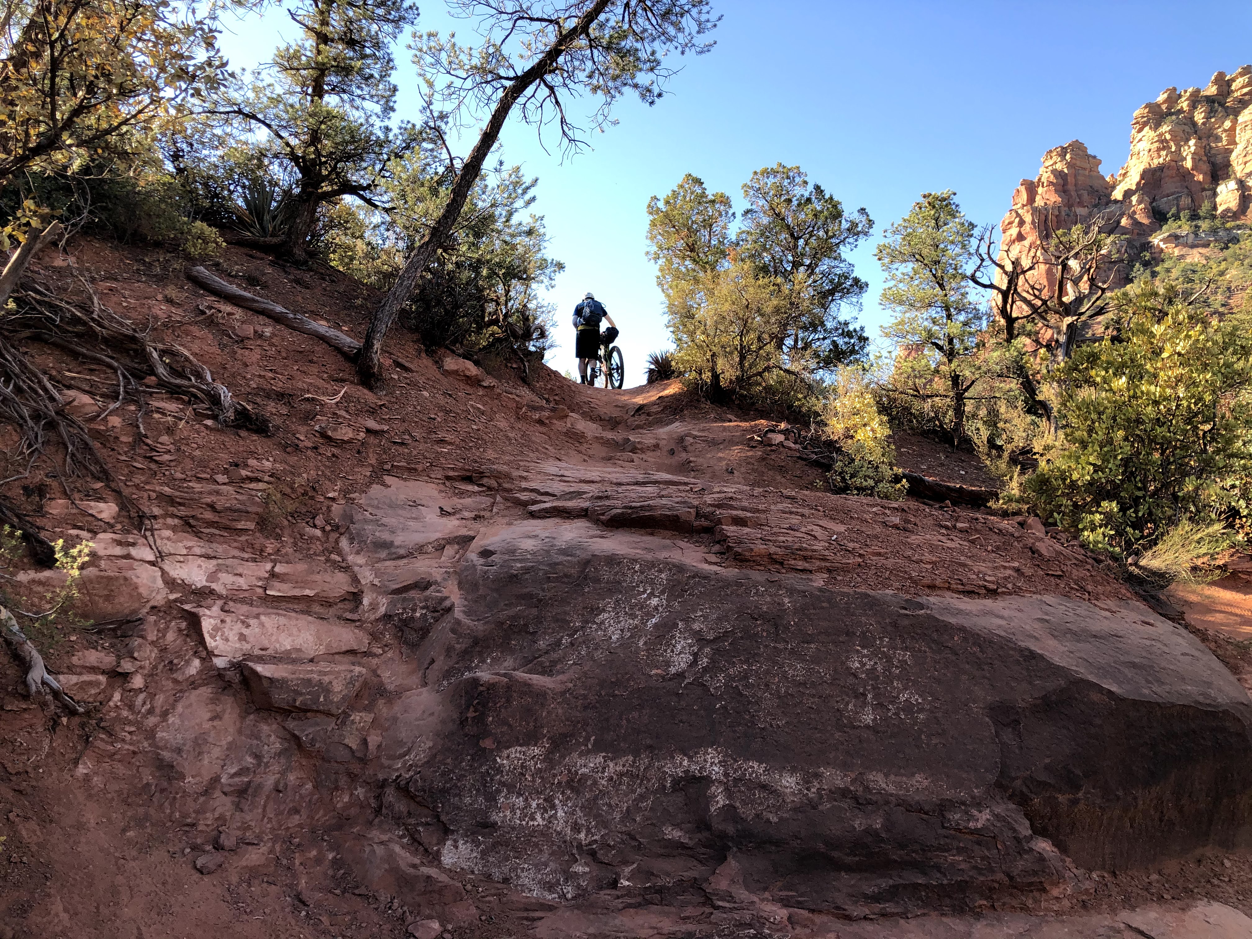
Topped out on the ridge. A steep, but fairly rideable descent is on the other side. I ran into two cyclists coming down as they were pushing up. They mentioned something about it being "an interesting trail" lol.
|
 |
Another peek back toward Sedona before dropping down.
|
After the descent, it really is primarily level and good riding. There were a couple of wtf moments, like needing to hoist my bike over a fairly tall gate. Schilling finally ended up catching me as I was under a road culvert applying more sunscreen to my face. It was really warm, and wearing the mask face covering just wasn't working anymore, so I just had to make sure I was applying it thick and heavy and every hour or two hours at the most. JS was riding strong and he was gone, I was feeling a bit tired now and was ready to get to Cottonwood.
 |
| No worries, just need to get to the top of that mountain in the background by the end of the day. |
 |
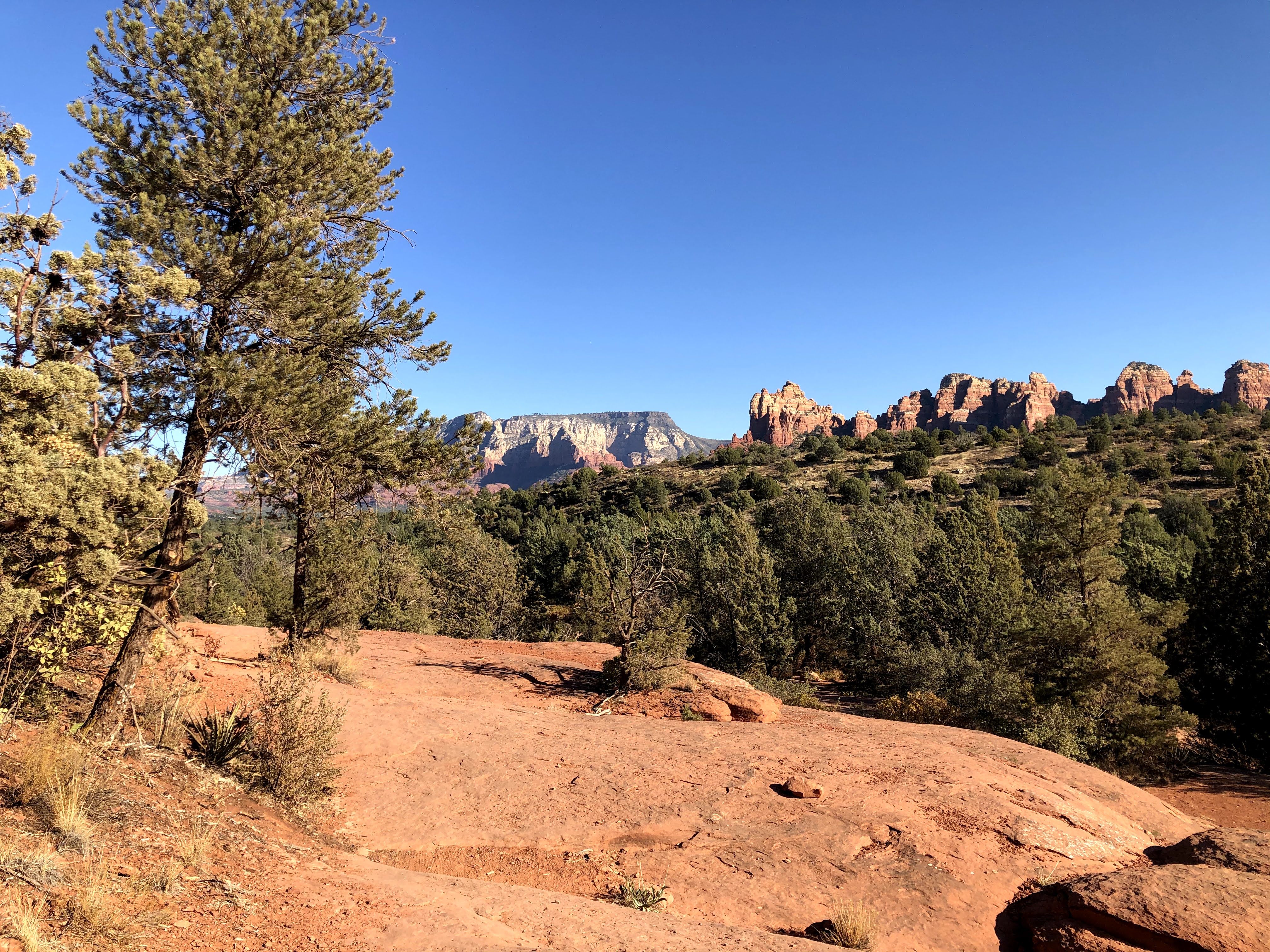
Another look back at the red rocks
|
 |
So many interesting gates in AZ. All with their unique modes of operation. This was right before a steep and short HAB for me.
|
Finally, the last bit of trail came and it was a fun ride down into Cottonwood. I was ready, and was feeling pretty roasted at this point. I knew JS was gonna grab a burrito off route - if I would have been able to keep his pace I probably would have joined. Instead, I decided just to stay on route and hit up Hog Wild BBQ which is directly on route. I had just barely gotten my order in and set up outside when JS rolled up.
We talked a bit about the day, and he let me know that everyone else on route had bailed. It is a tough decision to take on the route of today and even tomorrow given the temps. Can't say I blame them. That meant there were now only four people on the route, the two in front of us (Denny and Greg) and JS and myself.
I had a hard time getting down as much food as I wanted, but I did my best. Had a sandwich wrapped up to go also for dinner later tonight. Drank multiple refills of soda, then filled up our water for the push up Mingus and all the way to the Verde River the next day. We headed out and had one last mandatory stop at the Maverik convenience store for a few more snacks and a soda and gatorade. Being loaded down with so much fluid and food stinks, but there isn't any other option. There are zero food options until Williams the next day. One, maybe two options for water if you include Coyote Spring (which Denny and Greg let me know the next day was a fine water option this year).
Then I saw Schilling on the ground. I was hoping he was just having mercy on me and was taking a break so I could catch up. But it was worse. He was out. Having done this climb two other times, he knew what was in store and with cramps ramping up, he just didn't have it this time. I had a brief mental struggle while we talked. Making a high speed descent back to Cottonwood and to a room sounded real good. I had to push that thought aside. In my case, ignorance was bliss as I had no idea what I was in for. I knew it would be bad, but until you do it, it's just impossible to know how bad. My body was still good, I was fine. Slow, but fine. Keep moving.
 |
Parting shot. I asked him if it was another 4-5 hours pushing to the top. He said, "yeah, at least" Oof.
|
The hiking continued for a long while, I started cramping a bit so I started eating salt tabs like candy. Those kicked in and the cramping finally subsided.
 |
Cottonwood way down there. I think I updated Facebook right here too with the woes of Mingus
|
 |
I think this is where the climb stopped for a bit, and it was easy riding for a few minutes. The cue sheet said there were massive views. Of course, that's reserved for people who get up here with the sun still shining. I was long past that time.
|
I finally hit the split to Trail 105. The wind was whipping pretty good at this point, but it felt good to be honest. This last 3/4 mile of pushing was brutal. You have to lift your bike up to a ledge, hold the brakes and pull yourself up. Footing is difficult at best. You can't make a mistake up here or there could be dire consequences.
Oh that reminds me, right before I left Schilling, he told me two things. First, to watch for mountain lions on the top of Mingus as he has seen one up here. I actually had read that in his blog before, but had forgotten. Haha, thanks. The second was to be really careful on this section.
 |
Trail 105 marker. Almost there.
|
 |
Complete BS. Make a bad move here and you are gonna be in bad shape. Bikes have no business up here. But - AES does AES things.
|
I finally, mercifully topped out to level ground, but it wasn't really rideable at all because there were boulders all in the track at just the wrong spots. Hiked my way toward the forest road when I saw two sets of glowing eyes swaying back and forth in a tree right over where I had to go. What! No way this ain't good. Then my eyes adjusted and I realized it was just a windsock with some strips of reflective tape attached to a pole. I don't think I had ever cursed at a windsock before in my life, but there is a first time for everything.
It was a chilly cruise down to the campspot. I found it without much of a problem and I saw Denny and Greg sound asleep. I tried to set up my sleeping gear as quietly as possible. I knew I needed to eat, but just couldn't bring myself to force anything down. I did drink half my gatorade and kept it next to me so I could drink it when I woke up in the night.
Day 2 - ~ 51 miles and 15.5 hours
At some point in the night, some car campers pulled up to a spot just down the road, and they were so loud and they woke me up. They were making weird noises, almost like someone was strangling the other. It was bizarre and I was just waiting for blood curdling screams but that never happened. Fell back asleep only to we awakened at 4:30am by a woman camped next to us who was coughing like she was dying. I managed to pass out for another hour and a half or so.
Day 3 - Top of Mingus to Williams
Started to find motivation to get out of my bag around 6am. Denny and Greg came over and told me good job for making it lol. I think Denny said he was in after 7 or so and Greg was a bit after 8 if I remember right. Then there's me, trailsweeper haha! They asked if I wanted to roll out with them but I wasn't quite ready - I'm sure I would have been dropped pretty quickly anyway
 |
Typical AZ ranch/powerline corridor
|
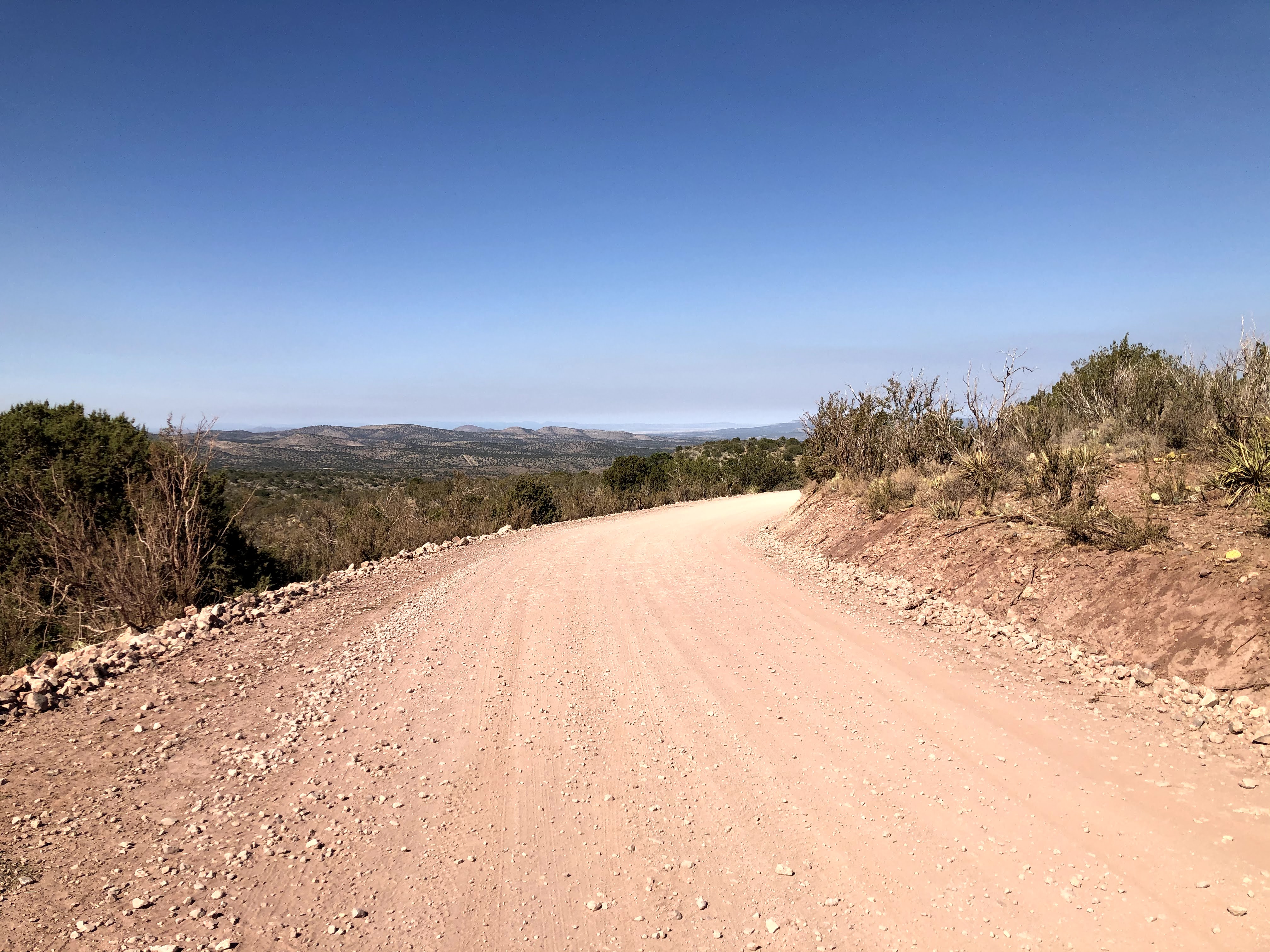
I stopped in some shade for a snack and a group of 4-5 jeeps came around the corner. They asked if I was OK and I just told them I was getting something to eat. After that, it was just a bit more riding around to the north side of the Woodchute Wilderness area and then hit the fast and almost entirely downhill gravel down Perkinsville Rd. to the Verde River where I would stock up on water and eat my sandwich from the night before
 |
End of the grind for now. Time to fly to the river.
|
 |
That mountain in the background is today's destination. Oof.
|
 |
Good red rock views again
|
 |
Bridge over the Verde
|
I dropped down on the North side of the river and found Denny and Greg just getting ready to head out. I was planning on taking a decent break here. The effort from the day prior and today's effort and heat had me feeling a bit on the low side.
 |
Beautiful place for a break
|
I started to do what you would expect, dunked and "washed" my two jerseys, used the water from the river to rinse off my drivetrain - it really needed a good rinse and re-lube after the last two days of dust and sand. Washed my face and body a bit. The water was so refreshing and it is so wild to see water in the desert like this. I ate my pulled pork sandwich from the night before and it was delicious. Drank quite a bit and filtered a full load of water for what was going to be a massive push to Williams.
It was a pretty stiff effort to climb away from the river, but then it mellowed out a bit. I was really trying to keep the effort as low as possible. I was kinda bloated with food/drink and also had about 145oz of water on board, and it was hot. No need to try to get anywhere fast. It wouldn't have ended well.
The first bit of roads out are fine enough, and nicely graded. Then the route continues north on a less travelled road and that's where the wheels started to fall off for me.
 |
Mingus a distant memory in the background. Grabbing some shade and trying to eat some food. Contemplating my life decisions lol
|
I was really struggling through here. My stomach didn't want or crave any food, but not eating wasn't really an option either. Just had to keep shoving stuff in and try to keep it down. Started walking way more than I wanted to, but I just had to keep making forward progress.
 |
Massive mine operation from long ago. This was definitely HAB territory. Lots of loose, chunky and steep terrain earns these views.
|
 |
great WESTERN trail. The joke is, it is definitely western. #westernaf
|
I hiked so much of this - good thing I like hiking! I was reading the trail story laid before me by Denny and Greg. It's funny how I got down on myself for walking but then I see the familiar tire tracks with familiar shoeprints next to them. So that made me feel a bit better about myself that I wasn't the only one hiking some of these sections.
Eventually, I finally made it to the big trees are cooler temps. I was pretty crushed and I thought I was on the doorstep of Williams. I was soooo wrong. Granted, it was easier riding and the temps were beautiful, but I had zero energy and was reduced to walking even anything with anything over a slight incline.
 |
Pretty, but still a ways to go. I thought an hour at most to get to Williams, but it ended up being closer to two.
|
I finally hit some pavement and it was already almost completely dark. I thought this stretch would be almost all downhill, but there were some sneaky climbs until I passed Bill Williams mountain. Normally, the route goes up and over the mountain, but it was closed for fire/logging reasons. I honestly don't know if I would have made the turn if it was in play this year. I was absolutely crushed. I had to even stop on the pavement during a climb before the final descent to Williams.
 |
Demoralizing needing to stop on a paved road climb. But I got a good picture out of it.
|
After this mighty struggle, the road finally turned downhill and I started passing some huge homes with big windows all shooting light from their interiors. So pretty. Then I saw the lights of Williams and the I-40 and instantly my mood went from the lowest to the highest. I started yelling out random stuff and I cruised right into the heart of Williams. I hit the stop sign. To my left, a mexican food place. To my right, a cheap hotel. OK, that settles that. I pulled up the rates for it on my phone and it wasn't the cheapest option, but it was close, and easy walking distance to food and Circle K. I rode up and checked in. Then I hurriedly got all of my stuff into the room, showered and put on some fresh clothes and walked over to the mexican food place that my stomach was finally willing to receive. Carne Asada never tasted better.
 |
I don't know if it was that good, or I was that hungry lol. I got a breakfast burrito to go for tomorrow as well.
|
Day 3 - ~63 miles, ~12.5 hours
It was so amazing sleeping in a bed and being clean. I had some issue sleeping though for some reason. So from about 1:30am till 3am I laid in bed awake. I was almost just gonna head out, but then finally crashed out until 6AM.
Day 4 - Williams to Flagstaff
I walked over to the Circle K and grabbed some breakfast sandwiches and a Coke and some salty items. Went back to the room and ate and finished last minute prep before heading out a few minutes before 7am. If I would have known I was going to be so slow today, I would have tried to leave earlier. Oh well. I really was thinking today was going to be easier and a bit shorter of a day. I was hoping for 10 hours. Oops.
 |
Super busy Monday morning in Williams ;)
|
 |
Train about to come around the tracks
|
 |
| Timed this selfie perfectly while on the move! |
 |
Right next to Bearizona
|
 |
| Destination is the far off peaks of Mt Humphreys |
I had been following two sets of tracks the prior day, but now it was down to one. Greg wasn't able to do the ride into Flag, so it was just two riders on the trail to Flagstaff. Denny and myself.
 |
Denny left solid trail beta via tire tracks in the largely dusty terrain all the way to Flag. It was funny wondering why he swerved off what looked like good dirt and then I would hit it and it would be soft or more washboarded than it looked.
|
 |
I was looking forward to getting into the trees - I was sick of staring at a bright sun.
|
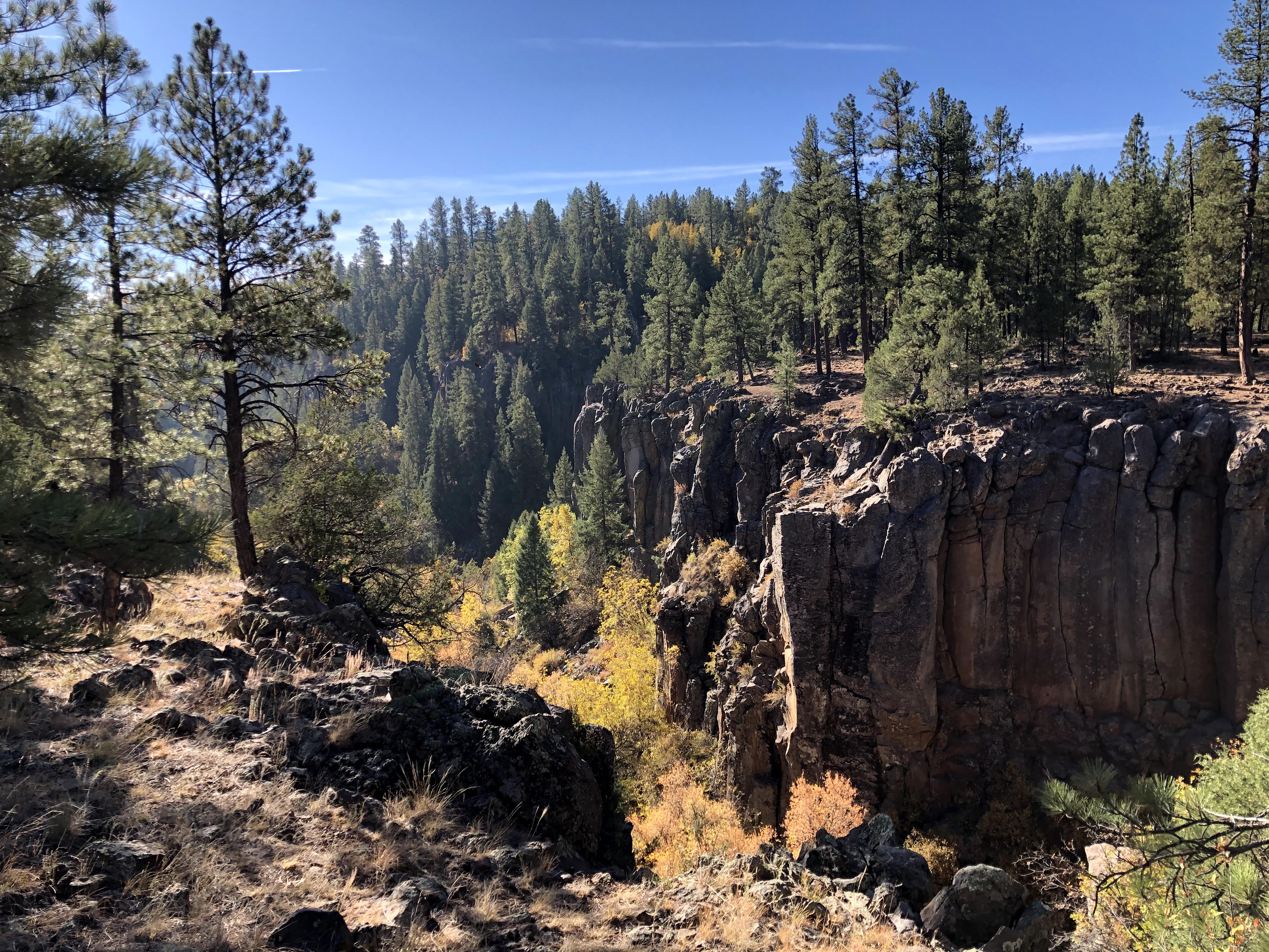
One of the main features of today was riding along Sycamore Rim. This has several nicknames, like "sick of more" or suckamore, but I didn't really mind it. It was a really neat area to see. Some really great singletrack and some really chunky and sometimes steep transitions.
 |
Trailhead signage
|
 |
The trail starts out totally buffed out for about 4 minutes.
|
 |
The canyon begins to open up
|
 |
Chunky, sharp rock to HAB over
|
 |
More chunk
|
 |
I'm confused - why doesn't this hiker have a bike?
|
 |
Stunning fall colors
|
 |
Stopped most of the way up a steep HAB to have second breakfast. After lack of cravings or wanting food on the trail yesterday, I was going to give it whatever it asked for. So at 9am I had chips and a coke. Sue me IDGAF.
|
 |
These signs remind me of my dad for some reason. I think the use of the word "fine" in the term "fine views" is what does it. If this sign were recreated today, it would say something about EPIC VIEWS or MINDBLOWING SCENERY. I thought about the use of the word fine here, and it made me think about how different things are in today's world. Maybe this really was just "fine" - maybe other aspects of people's lives was more EPIC. I don't know. Weird thoughts from the mind of a random mountain biker.
|
 |
Yes, this is indeed a fine view
|
 |
My bike was tired and wanted to lay down.
|
 |
Another bike nap
|
 |
I find the sheep on rides apparently. I was standing right next to the sheepherder, but he didn't speak much English. He asked how much my bike was and I modestly said "a lot". The sheep were right on the trail, and he said I could go and they would move. He was right. Smart guy :) Right past the sheep was a steep climb out of here and back to flat roads for a bit.
|
Back out to flat, big country dirt and I was making OK time. Roads were OK, but so very dusty. Any car that passed left a cloud that lingered for a very long time.
 |
A little closer, I suppose. Still a long ways off
|
 |
Doing this stuff can put you on Cloud Nine. I was running around Cloud Seven right now haha.
|
 |
I saw a couple of these signs - I had to snap a pic because it reminded me of a character from the Netflix smash hit "Ozark"
|
I finally made my way far enough north again to cross the I-40 and stop at the Texaco in Parks. I was definitely fading so stopped for a while. Ate my breakfast burrito, and filled up on water and a few snacks.
 |
Closer yet...
|
 |
I always take pictures of cows for my oldest daughter.
|
 |
Cow
|
 |
More cows just living their best life in the forest.
|
The Wing Mountain area just wrecked me. There was some climbing, and then a wicked steep HAB before dropping down super dusty blown out moto trails. This wasn't really any fun at all until the very lower flanks when it was a blast due to super wide berms. Another very annoying thing was it was so dusty I was having to stop and wipe down my drivetrain repeatedly because it would collect so much dust in short order. I hate pedaling with a noisy chain so that was really annoying. Our forests desperately need some precipitation :(
 |
Steep, but it's about to get silly steep.
|
 |
Pushing straight up the mountain. I tried to capture steepness using the trees as a guide. It wasn't long, but it hurt.
|
 |
The elusive peaks emerge briefly again.
|
 |
Now we are getting somewhere.
|
 |
Lots of slow grinding and even some pathetic walking on Hart Prarie Rd. But, ASPENS. PS STOP CARVING YOUR MARKS IN THE TREES YOU FREAKING CLOWNS
|
 |
I hiked the entire approach up. But I passed some other hikers on the way to the AZT junction so that made me feel a bit better
|
 |
Looking back on a long day
|
 |
Finally - time for some mostly downhill goodness.
|
I was ready for some easier riding. It was sure dry, but all the leaves helped keep some of the dust under control. It was funny, I did a PR on a big segment of this downhill, which is hilarious because of all the gear I had plus my level of fatigue. I was pushing the pace for sure because I was so ready to finish this thing. I was hoping I could finish without lights, but I also know that this segment does go on for a while...
 |
Yeah, classic stuff.
|
 |
Spotted some Elk
|
 |
Last pic as it got dark on me. Lights put on for the finish.
|
I hit the junction to lower moto and good times were had, but it was getting super dark, super quick. Next thing I know, I am off route??? What? I missed the junction for Poker Loop so I turned around to hit that and when I dropped it it got super dark. It felt really creepy in there, I had "that feeling" which is the first time that has ever happened. Fun. Luckily, it got out of that lower area and regained lower moto again until it hit the fort valley trails towards schultz creek. After this is what pretty much all downhill. Literally right before the end near the col de sac the trail was plowed under, or my mind was playing tricks on me, I backtracked to see if I missed it, then went around and tried to make my way back up, but was shut down again. I am wondering if this area was used as a fire break during the fires over the summer? I don't know, but I ended up all turned around and trying to find an exit through the confusing neighborhood roads. I finally got spit out on Hwy 180 then linked back to "the place" using the FUTS. What a sweet little bikeway in the middle of the city.
Day 4 - ~73 miles, ~12.5 hours
I ended up going back through the NAU campus to get back to the truck - I was having my mind blown, because there were all of these wheeled drones all over campus. I wasn't sure what they were, until I saw some kids walk up to one and pull a salad out of the top. Haha! They are food delivery drones. Who knew? What a time to be alive. Maybe the powers that run the AES scene can get some of these drones to deliver some supplies to the top of Mingus!
Just like that, I was back at the truck and packing up quickly to head home. I got packed up and started to drive and boy it felt weird to drive a truck at freeway speeds.
This really was such a beautiful route, very scenic, challenging but with corresponding payoffs for the most part - though there is really no way to ever get repaid for the Mingus push, it does its best, bless it's heart. It was awesome seeing some familiar faces and meeting some new like minded people. I say it every time, but the Ultra MTB community is like no other. I still haven't met someone I didn't like. Top notch people, all of them. Thanks to all of those who have paved the way with blogs, info, etc that allow a dude like me to be prepared enough to give it a run. I'm of course thankful to have a body that allows me to move (albeit slowly haha) long enough each day to make something like this happen. And of course the equipment to do so.