It has been four years since I completed the AZT300 back in 2017. While I have hit up some of the AZT south of picketpost for some AES events, I really don't ever make the trek to ride that stuff. Most of my driving for biking tends to be to the northern parts of the state in the summer. It's really my own loss, as there is some absolutely brilliant segments of the AZT down further south. Lots of miles of beautiful, easy riding singletrack. Then there is the stuff that is just brutal - tough even for day ride standards, let alone mixed in to an ultra endurance MTB event.
Yet, I found myself after completing the Coco 250 in October needing to have something else epic on the calendar. I didn't have my kids for spring break, so I thought about trying the 300 again, but with an earlier start than what used to be the grand depart before that officially got moved to the fall. The goal was to avoid getting roasted in the Canelos. Turns out, the weather still played a roll - mostly in my planning and gear selection though there were slight direct impacts.
It's really a fantastically simple set of rules to follow. And that's why these type of events are so great.
So without further ado, here is my story behind my AZT300. Oh and a note - the route has been trimmed up mileage wise over the last few years - eliminating some pavement and adding more dirt. These days, the route comes in somewhere around 277 miles give or take. But I guess the AZT 277 doesn't have quite the same ring to it.
This may be one of the hardest things about the race. You have to find someone willing to drive the 3-4 hours (one way) south from Phoenix. I also wanted to have my own vehicle at the end - at Picketpost trailhead near Superior, AZ. In 2017, I roped my brother into doing it. This year, I got my sister to assist.
So we met at her place, and then we both drove vehicles to Picketpost. Once there, I put my bike in the back of her vehicle, and we began the trip south. Per the usual, the mandatory stop is Seis Mexican Cuisine - the burritos are amazing. We both had burritos for lunch, and I ordered an extra one which would serve as trail food/dinner the following day. Bean and cheese burritos are perfect bikepacking food.
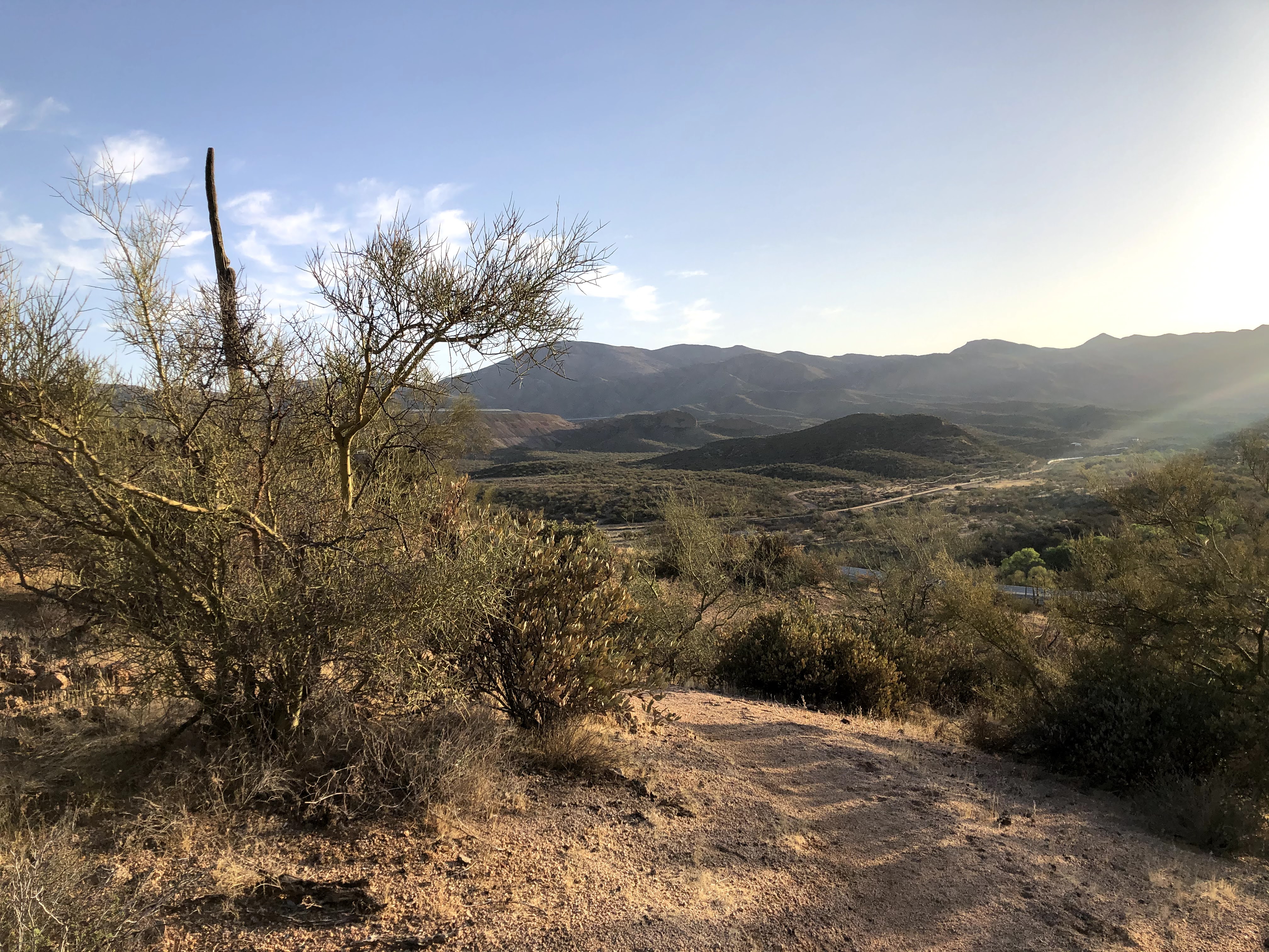
We left Seis and began the remainder of the trip - I was excited for this because my sister hasn't ever seen this area of the state. I knew I was blown away the first time I saw it, and I'm glad she got to experience that with me.
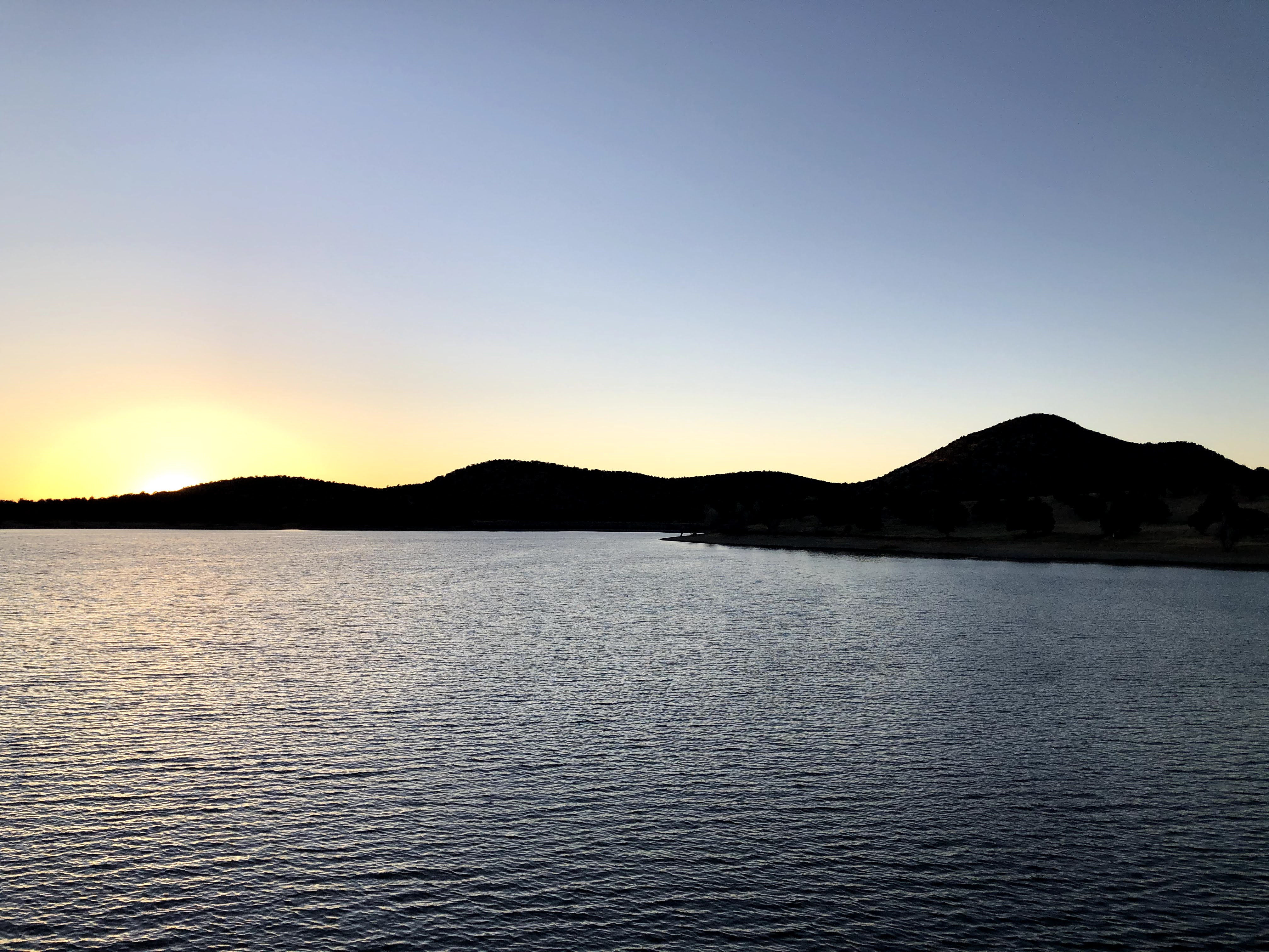
Arriving in Sonoita, we stopped so I could get her fuel topped off, and I needed a few additional supplies for the overnight camp - a sandwich for dinner and some water. We then made the rest of the drive, the constant hills and 90 degree turns seem to go on forever but then we arrived at PCL.
Normally, for the "grand depart" everyone gathers at the AZT trailhead. There were some others who were starting early the next day, but I decided at the last minute to let them do their thing. I was gonna stay down closer to the marina. It had access to bathrooms which is convenient indeed. It was very windy, and I really didn't feel like getting blasted up near the TH. At least I had wind shelter behind the bathrooms. It was also cold - it was forecast to drop below freezing this night.
My sister took off, and I enjoyed a mostly quiet afternoon just chilling out at a picnic table. I continued to maintain hydration, and snacked on some stuff. I watched the comings and goings of visitors to the lake and talked to some people about what I was doing. I was really alone with my thoughts - something I love about being solo and outside. As I got into my dinner, I found myself zoning out and staring at the lake and watching the birds. I started to think about my dad - it has been almost exactly three years since he passed. My dad could just stare out at things in quiet contentment. I do the same. I wondered if the way I was just absorbing the beauty of this place was the same way my dad did. Did we share the same "vision" in that way?
I watched while a couple with a young boy in tow got ready to take some poles down to the lake - I was chilly and I had my puffy jacket on. This young boy gets out in shorts, cowboy boots and a t-shirt. I was like, dude you need to put on a jacket. I gave him fifteen minutes before someone had to go back up to the car to get something for him. He lasted ten.
I watched some deer walk straight through the hills behind me, and then I settled in for sunset.
At this point, it had been so quiet, I just decided to kinda "stealth camp" near this area. Being next to a bathroom is certainly nice - I wouldn't have that kind of convenience really for the rest of this trek.
I had a mostly peaceful evening, I woke up to some very feisty coyotes before midnight, I just kinda smiled while I listened to them. The stargazing was superb.
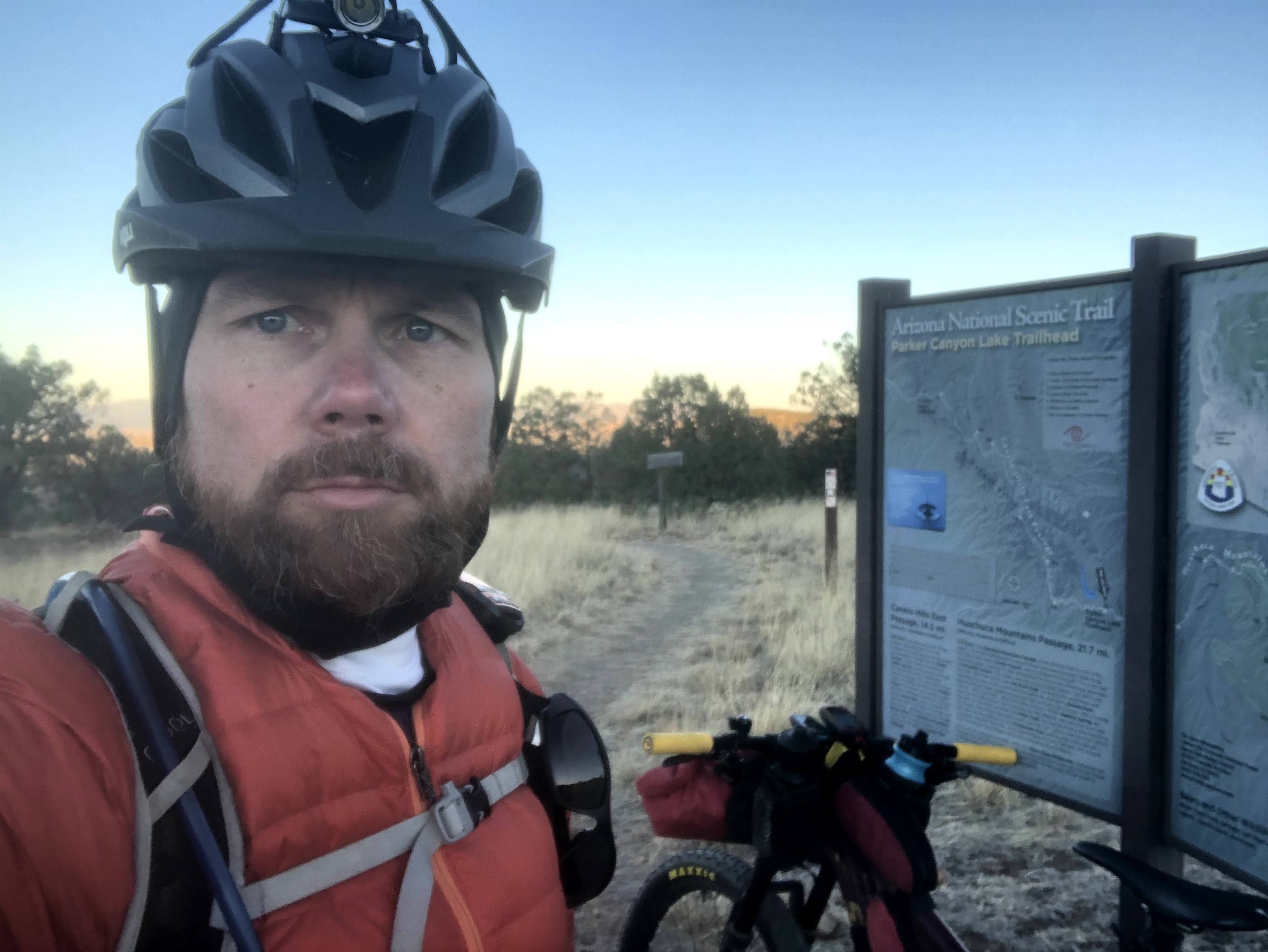
Before I knew it - and before my alarm - I was waking up from early morning traffic from the early birds wanting to get their lines wet. It was definitely cold, I had half a gallon of water in my jug and it had partially frozen. I ate a bit and had my starbucks canned coffee. I got rid of my trash in the critter safe trash containers and made the final adjustments - time to ride up to the trailhead - it was a decent little climb up the AZT proper. A nice little warmup. It's go time!
As I stood at the trailhead, I readied myself for what I was getting myself into. The Canelos are relentless, but at least today, they weren't going to be hot.
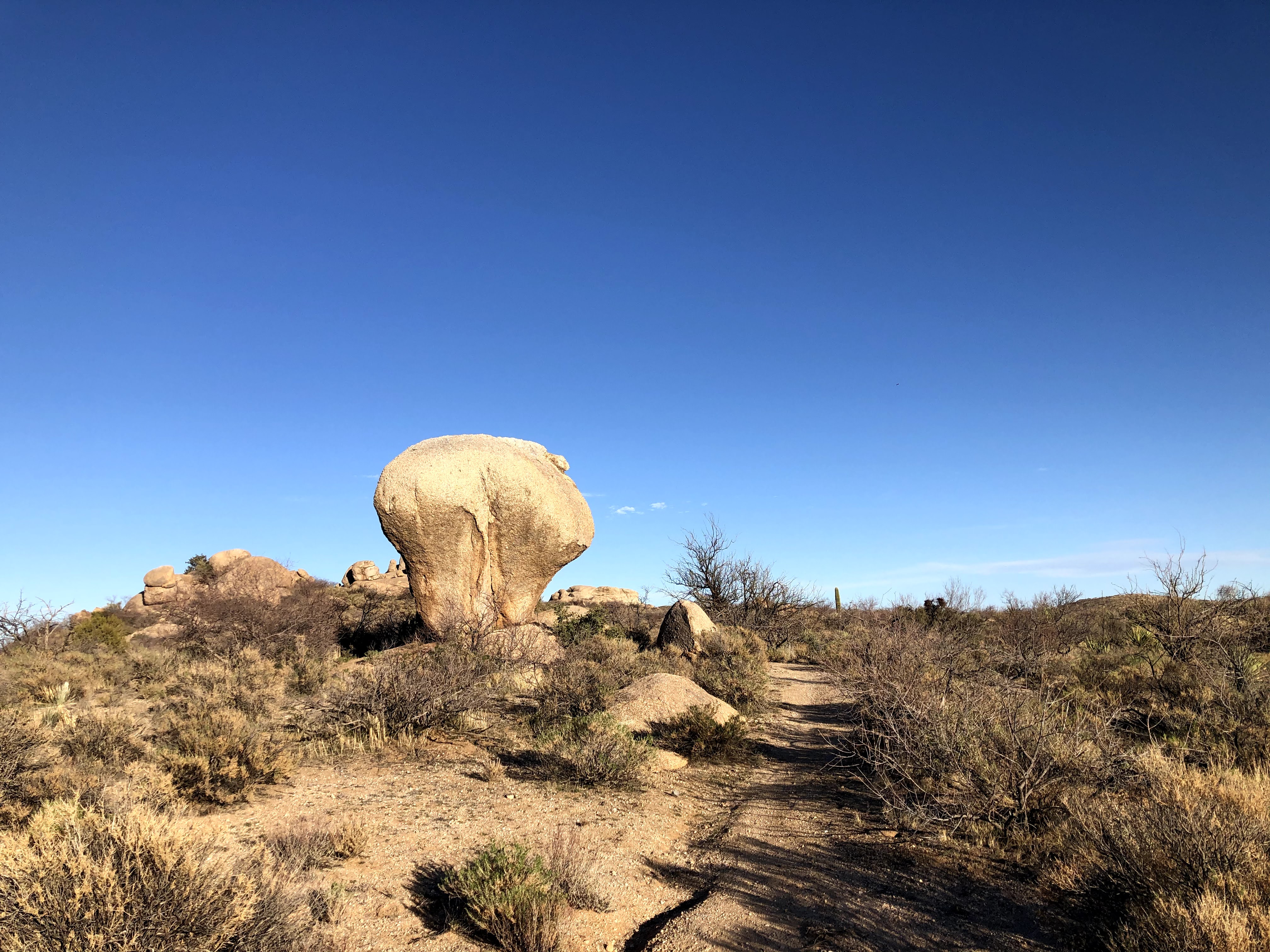
The first bit of trail, while rough, is actually pretty easy riding, but then things start to get hilly and the work starts. Plenty of on and off the bike for this guy. I was really wanting to push some long days, and I knew the key to that was to really make sure I wasn't putting in any really hard efforts. The goal was to make everything seem as easy as possible. Even with that, it's still pretty tough work out there.
The last bits in here were beautifully built, I could probably ride them as a day ride, but I walked a lot of it to keep the effort low. They were fairly steep. Reminded me of the trail construction in Flagstaff for the recently rebuilt Heart trail.
Here is something of note that is fairly recent. This new routing cuts off three things: a good chunk of previous pavement miles along state route 82, a resupply option in Patagonia, and a resupply option in Sonoita. Of course, if you want to resupply there, you can - I chose to not ride the additional six or so round trip miles to get to Sonoita. I carried enough food and water to get to Kentucky Camp, which is the first potable water directly on route. There are of course options for filtering if needed if you research and locate those locations...
After riding about a four mile slightly uphill stint on pavement, the route cuts through on dirt via hog canyon up to Gardner Canyon. Again, this is a recent addition to the route which allows the removal of some pavement riding. It also is due to the willingness of the landowners allowing passage. Again, just follow the rules. This includes signing the register. From the looks of it, it looks like plenty of people have been utilizing this.
I ended up stopping at a gate that had some tanks around and I ate some of my burrito for lunch. Applied some sunscreen and just enjoyed the peacefulness for a minute. Based on my research of this addition, I figured there was a bit of HAB coming up.
That ended up being the last picture of the day. I had totally forgotten about all the jeep road riding after flume trail. It was still light out when I got to Kentucky Camp. This is a nice place to eat a snack and get water that you don't need to filter. There are restrooms as well which is nice. It was slightly breezy, so it was nice to be able to go in the bathroom and get switched over to some warmer clothing - it cools off quick when the sun goes behind the mountain.
Oh, I almost forgot, I was also transitioning to the quickly approaching darkness, so I dug out my lights and went to fire up my main bar light and nothing. Um... ok, had it turned on while in my pack and drained the battery? I dug out another battery and still nothing. Okaaaaay.
Luckily, I get pretty paranoid about lighting. I had my main bar light, a mini flashlight type light attached to my helmet, plus a standard camping headlamp. On top off all of that, I had an extra duplicate main bar light. I put the other broken light deep into my pack and fired up my backup with the original battery - bingo. Moral of the story, if you plan on moving long hours at night, having lights is pretty important. Have some contingency plans! Glad I did.
I talked to a thru-hiker - nice dude. Most of the thru hikers were pretty amazed at the concept of extensive night travel. I guess it makes sense. But for me, if I wasn't moving until late in the night, I would have never gotten anywhere haha.
I really wanted to get to 70 or 80 miles on the day but I ended up around 63 miles and about 8300 feet of elevation gain after a 16 hour day. I was tired but happy with that effort.
Day 2 - Helvetia Rd to just after Molino Basin
 |
| The morning after - a perfect little campsite to cowboy camp. |
I ate a bit of food, and knew the first couple hours today were gonna be pretty slow as there are some HAB's to deal with and just rugged conditions. It was pretty cool out to start, but warmer today. I just wanted to get to the "magic green gate" which unlocks the trail into much easier and more downhill riding basically into Tucson. It's not all free, but it sure is a nice reprieve from the day prior.
 |
| Snow on the northern peaks of the mountains back there. Was this indicative of Oracle Ridge? I would find out tomorrow. |
 |
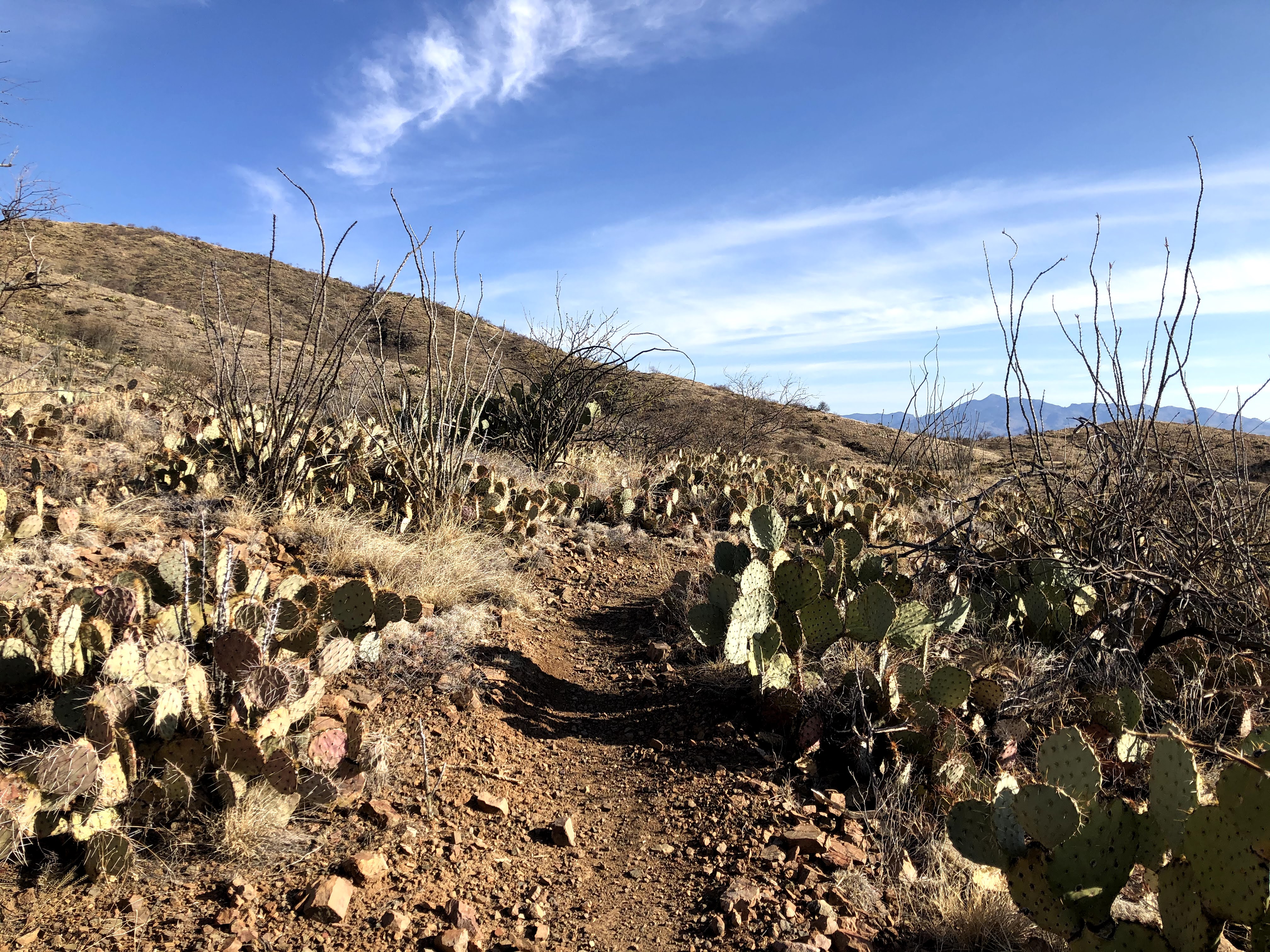
| Tons of prickly pear in here. I managed not to kick any of them this year! |
 |
| After plenty of hiking and tough riding, I was happy to reach the magic green gate. |
 |
| Hmm another fresh sticker. I just now noticed no feet on the pedals. So HAB. That's appropriate. |
 |
| And just like that, it gets pretty amazing. |
 |
| Rollover gate leading to a culvert under I-10 |
 |
| Kinda spooky, not gonna lie. |
 |
| I honestly don't think I noticed this in 2017 - if you don't look back you will miss it. I was determined to get a picture here this year. |
 |
| Let it flow... |
 |
| It was getting a bit warm - and I was ready to get to La Selvilla picnic area. |
The riding around Colossal Cave is definitely a bit tougher than the easy trail prior to this. There are more technical moves that I just didn't have the energy for so a bit more on and off the bike stuff here.
 |
| Chunky |
 |
| This guy was so tall. Maybe 30-35 feet? |
 |
| Arrived at the picnic area which was kinda off limits around the ramadas. There is another source of potable water right here, and the bathrooms were appreciated as well. I didn't totally top off, I knew I didn't have too long until I got to my first resupply opportunity. |
I pasted more sunscreen on, and headed out - the first bit to get away from the picnic area is a bit of a chore but short enough. Then again, the trail just opens up for minimal effort riding. This was nice because it was definitely warm now.
 |
| Prickly maze |
I passed about eight through hikers in here. They had all found ways to escape the powerful sun and they were just waiting out the afternoon heat. Due to the mostly flowy nature of the trail, and the power of convective cooling, I was able to get through here without suffering too badly like they were.
 |
| Leaving dirt for a bit to bypass Saguaro National Park which is off limits to bikes |
Pavement does have some benefits. Like resupply. I was ready for some real food and top off of my supplies that I would need until the next afternoon. Rocking K is a good spot.
 |
| Club wrap was tasty and ice cold soda hit the spot. But did I eat too much??? |
All fueled up and resupplied, there is a decent stretch of pavement in order to get to the next big obstacle. Redington Rd and the ensuing 4x4 road madness.
 |
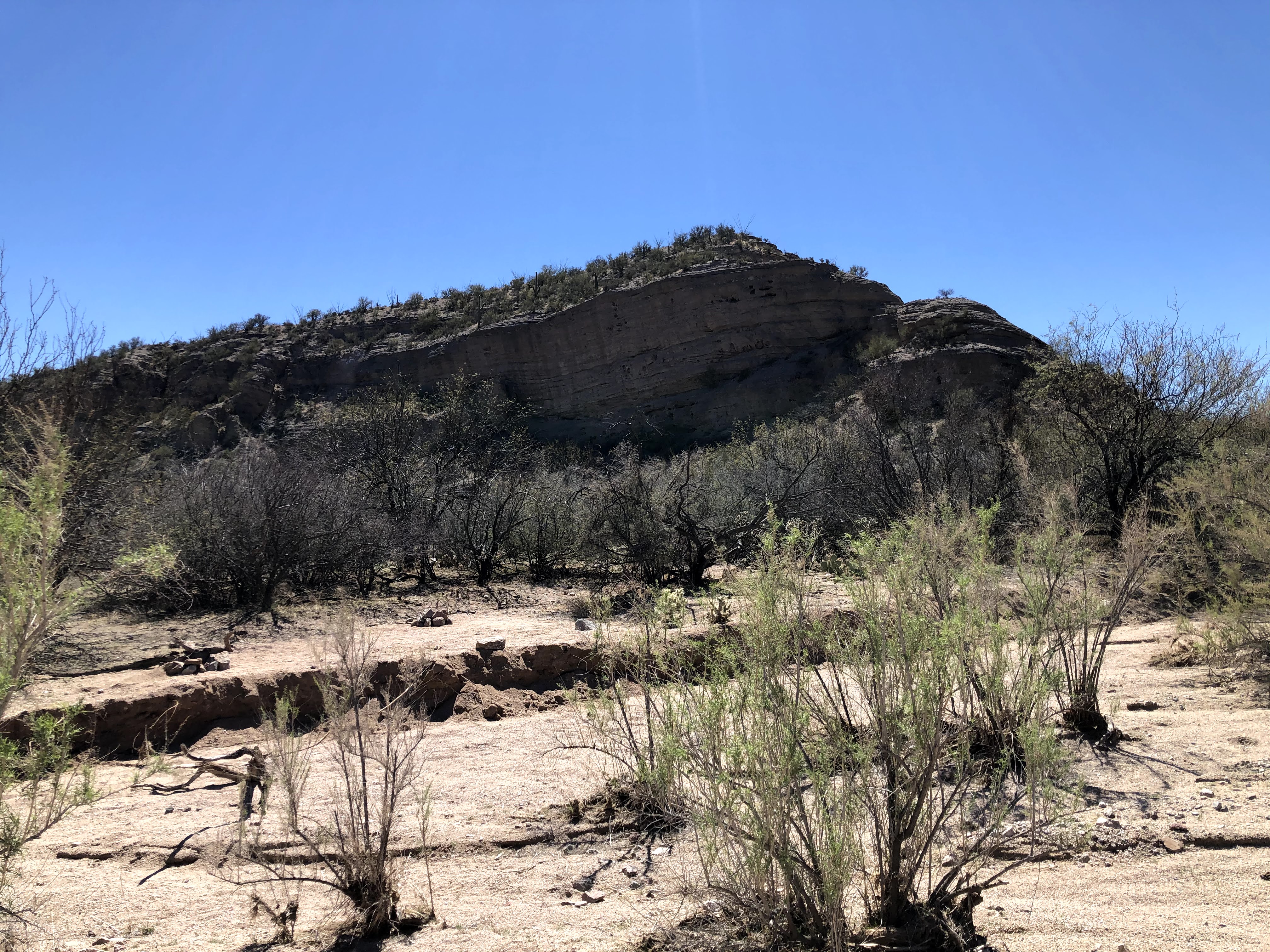
| An intimidating sight seeing what you have to deal with in the distance. |
About twenty minutes into the pavement my stomach started protesting. I wasn't pushing the pace - if anything I was pedaling easy to help facilitate digestion. Uhh - I got "bubble gut" and this ain't good.
 |
| A connector trail. And no privacy to be found even though it looks secluded, it really isn't. |
I continued to pedal super easy through the neighborhood that connects up to Redington. My guts were in knots and I wasn't sure what to do. I started to desperately look around for two things.
First, as you know there aren't exactly leaves laying around in the desert, so I was looking for any kind of newspaper or random anything that I could use to clean up if I had to. I had some supplies with me, but not nearly the amount I thought I might need based on how I was feeling.
I ended up seeing some shredded jeans on the side of the road. Well, that works! Kinda examined them and they would serve the purpose if needed so in my pack they go.
Second, I was looking for some kind of easy escape off the road with some privacy in case I felt like I needed to just get this over with. I didn't really want to do this - not very "leave no trace" so I tried to hold it at bay.
 |
| Pack it in, pack it out. Yeah... that might be a problem. I'll do my best. |
The climb up Redington is no joke, but it was beautiful out. I ended up talking to some guys who were up there with some RC trucks and they have done the 300 before. Cool dudes and I really needed the distraction.
After that, I was passing some places that had some RV campers pulled off. I was this close to asking a random stranger if I could do the dirty in their RV haha! I'm a shy dude by nature and I just couldn't bring myself to do it. So easy pedal I continue. This feeling would last all the way up Redington and almost all the way up the jeep road. Ugh.
 |
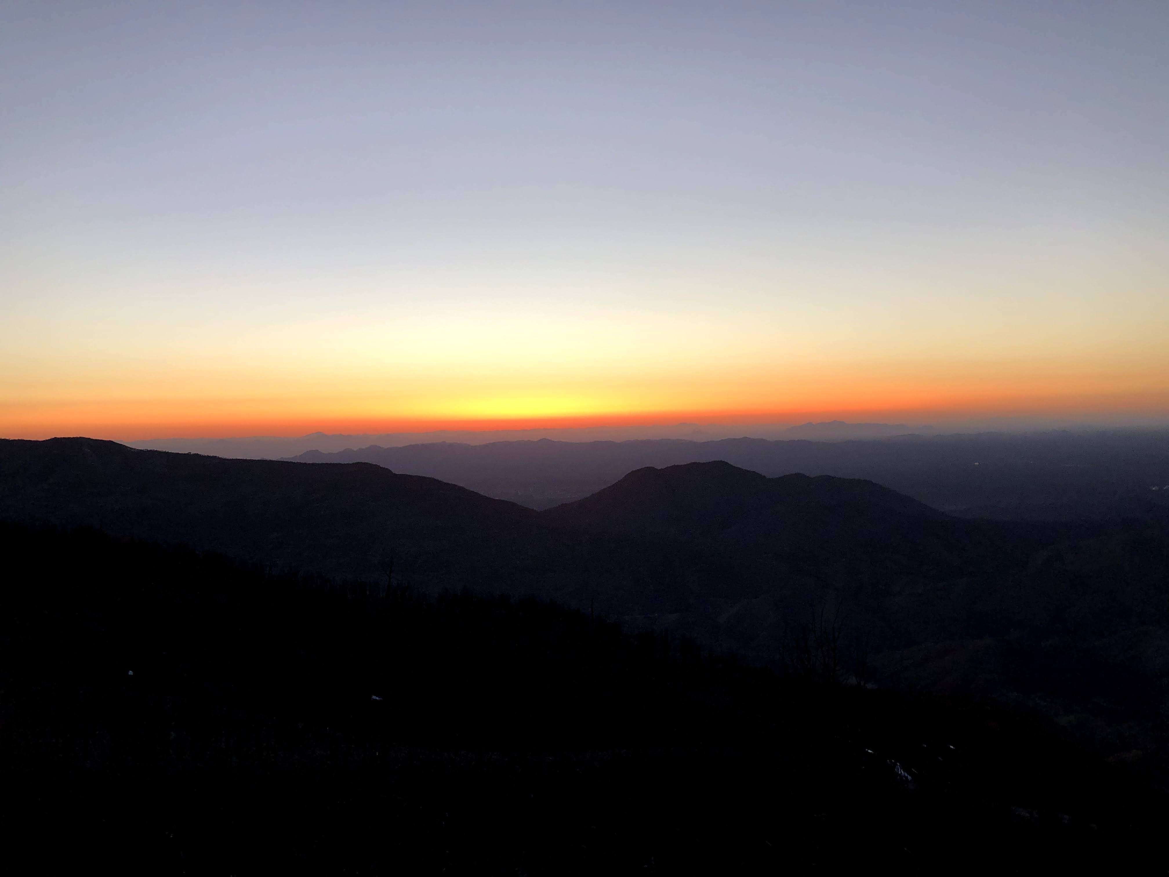
| Sunset over Tucson |
 |
| More elevation. Last picture of the night. |
I made the turnoff for the jeep road and I remembered what the terrain was like, I just don't remember it going on for so long - it seemed to never end. And now that it was dark, I just felt like I was in a vortex. It felt like this the rest of the night. One day, I will be fast enough to ride this entire area in the daylight. A man can dream anyway ;)
Remember how I was talking about how cows are everywhere in AZ? Well they were everywhere tonight indeed. I actually got spooked a few times. They were mooing their disapproval of me being around, and I swear I would feel like I was passing the sound but it kept appearing in front of me again. And then at a gate, one was making more of a grunting sound. Beyond that, have you ever looked at a cow in the dark with a flashlight? Depending on their coloring and face pattern, their faces look like skeleton skulls.
Needless to say I didn't need any of this garbage and I really just wanted to get the hell away from them and onto the singletrack. It was about 9PM I think when I made the turn to rejoin the AZT singletrack. There was a thru hiker camped there, and I'm sure they were not pleased that I made all kinds of noise at the gate and that they were now subject to noisy cows. Oops
Just like my first time through here, it was just a frustrating experience. I just wanted to get to the Molino HAB, which is a seriously difficult section that involved hoisting your bike and body up ledges that takes me about an hour. It is like a puzzle to figure out how to place your bike and then use it to assist yourself in stepping up. In any case, I would never, ever want to do this to start a day (though I'm sure it is very pretty) so I was determined to get it done before I went to bed. That was a non negotiable for me.
At one point, I was riding fairly quickly downhill, when all of the sudden, a black blanket starts moving in front of me right on the trail. WTF, woah! This "black blanket" ended up having hooves and was up and mooing at me and trying to get out of my way. I think we both scared each other equally, I'm not really sure how I didn't hit it - it happened in slow motion. Freaking cows man.
I ended up starting the HAB a bit before 1AM, and I knew I just had to get it over with so up I went. On one of my multiple rest stops, I noticed a bike light quite a ways away. I knew there was a speedster on the trail who had started that day. He was on the verge of catching me, on my day two. I didn't know it at the time because he was using a pseudonym on the tracker, but it ended up being Neil Beltchenko who has seriously amazing talent on a bike, and he is an ultra nice guy to boot. I felt like a clown up there knowing someone had rode in one day what has taken me two, but whatever. I am doing my ride, and he is doing his. I never came out here to compete against anyone but myself. I knew I would beat him over the pass, I just wasn't sure how long it would take him to catch me. I knew it would be soon.
I made it to the top, contemplated briefly about camping up there but decided I didn't really want to do the downhill HAB down the other side in the morning, so down I went. It's definitely easier when gravity is working with you!
I briefly stopped at the Molino Basin campground which was closed. The bathrooms were open, but hey, I didn't need it anymore. I did use the opportunity to throw away some trash and those jeans haha.
Since the campground was closed, I guessed I was going to start the tough section up to prison camp. I passed up one spot, but noticed it was kinda breezy so passed on it. I figured one would show up fast. I was wrong. I hiked quite a bit, until about 3AM when I finally spied this random concrete pad off trail to the right. After 81 miles and about 8000 feet of climbing, I enthusiastically laid out my sleep kit and was out by 3:30AM.
I heard Neil pass me at 3:45AM. Wow.
Day 3 - Prison camp to Hwy 77 near Oracle
I got woken up by the sun and a mom and her two kids around 6:45AM - I heard one of the kids say, "mom, are we supposed to be going this way? Look over there!" - I think he was talking about what looked like a homeless person sleeping next to the trail. Ha! Well, he wasn't really wrong. I did look like a complete dirtbag.
 |
| I thought it was way more secluded. Not really. Sorry if I scared your child :) |
I had a bit of challenging and steep trail to get to what was going to be the first of two big obstacles of the day. I had to climb the Catalina Hwy up to Summerhaven. As far as road climbs go, it's not bad necessarily. The grade is pretty tame and consistent, the traffic is relatively light and courteous, and there are large shoulders mostly. It's just really, really long and on a loaded bike it is a chore. I was tired from three hours of sleep, but I really needed to get going.
 |
| I think I stopped to take small breaks at each of these spots. |
 |
| First hints of snow from the storm that blasted the area the weekend prior. |
 |
| Lots of elevation gained, lots more to go. |
 |
| A bunch of roadies out today. Everyone cool. |
 |
| Getting higher and more snow remained in the shady/north exposed areas. |
 |
| Almost to the sunset TH |
On the way up, I planned on checking on the bigelow water source - I was getting ready to pull in but some cyclists were coming out and I asked them if the water was on, and they said it was still capped. Cool, less riding for me haha. I didn't need it, but wanted to report water sources as this is an important one in the ride for many.
 |
| Another new addition to the trail. I got really frustrated in here because I was hungry for real food and this was delaying it compared to the old route. |
 |
| Lots of snow across the way |
I came across a difficult boulder section and I remember saying some choice words out to the universe in the direction of one
John Schilling - I was like "dude, really!!" The section is pictured below and it involved trying to figure out how to get your bike down to the lower level without losing it or falling yourself.
 |
| More BS |
Ultimately though, this section is short lived. My mindset got back to normal when I came to a very pretty and shaded area, with tons of flowing water direct from the melting snow. I filtered and drank about a liter of water just for the heck of it. Water doesn't get much more refreshing than that.
 |
| Water so clear you can barely see it in the photo. It was flowing and abundant and ice cold. |
 |
| I have about 2 seconds of snow riding experience, so I walked this snowy/icy section |
I was worried there was more trail, but it ended up being a road, albeit uphill, into Summerhaven. Tons of people were on the road and hanging out in town. My first item on the agenda? A burger.
The Sawmill Run restaurant is fantastic. I grabbed a burger and fries for now, plus a second burger for dinner later. I was figuring that would be my last real food - I was going to stock up on enough here in the general store to bypass the town of Oracle
 |
| Ahh yesssss |
That was much needed. I had a nice break here, but I had to get on to the second test of the day - Oracle Ridge. Before I did that, I had to get resupplied. I went across the street to the visitor center to check on the water situation. I wasn't going to buy it if I didn't need to. Unfortunately, Summerhaven has been highly impacted by the ongoing drought, and their town water supply has taken a hit, so they have taken to aggressive conservation efforts. This includes the public water fountain and bathroom sinks being turned off. Toilets still flush at least, haha.
With this knowledge in hand, I went up the road to the general store to stock up on plenty of food and water. All supplied, I decided to pre-emptively put on my waterproof socks in preparation for what was potentially going to be a snowy slog, based on John Schilling's experience just the previous weekend. I guess I should note that I brought extra gear just because there was really no way to know how much the snow was going to melt. I am a Phoenix native - I just don't deal with it. Also Oracle Ridge is hard even without snow/ice. So all of that said, I had been carrying along microspikes (not super light), and also some lightweight waterproof pants. I didn't want to get into trouble up there.
I guess it was time to find out if I would need any of it. Time to tackle the "traverse of death" as it has been called...
 |
| After a bit of brief mud on the control road, this entrance was very dry. |
 |
| Across the way, I can see that the snow is sticking around in the shaded/north exposed areas. I had a bit before that would occur on the trail side. |
 |
| Big views open up immediately on some actual riding surface. |
 |
| This is not rideable ;) |
 |
| This area has burned many times over the years. |
 |
| You can see the BioSphere if you look close |
 |
| First hints of the moisture that indicate that there was tons of snow up here a week ago |
 |
| Not bad |
 |
| Trail gets less rideable |
 |
| Gotta lose a lot of elevation to get down there. But it takes forever to actually begin losing it. |
 |
| This ended up being the worst of it - it was slick, but with caution it was no issue. |
There are some pushes in here that I can't really describe - you have to see them for yourself. Ultra steep and just a brutal full body workout getting your bike and body up them. Check it out for yourself, I just wouldn't suggest bringing a bike ;)
 |
| There was a helicopter doing something on that peak in the background - not sure exactly what. |
 |
| Around this area I ran into the hikers who had blown past me on the ascent up here. |
 |
| Sunset, and about to start losing elevation |
This next section of steep descents had me walking quite a bit for some reason, it was kinda muddy and I was afraid of smoking my brakes. Even after the jeep road, there were a lot of steep and loose singletrack descents that combined with the darkness and me being ultra cautious due to being solo was causing me to get off the bike. And for yet another evening, once I lost the sun, I really got disoriented and frustrated during these difficult sections, and they seemed to take forever.
While navigating the Cody trail, I had to go through a gate, and I decided to put some warmer clothes since it was dark. I ended up "donating" my microspikes here on the fence post. I was so tired of carrying them.
I was looking forward to the easier riding after the American Flag trailhead. I just had to get there.
 |
| Saw this little tarantula. Hey fella. |
Since I had loaded up on enough food to get me to Picketpost without a stop at Oracle, I had to get my water topped off. Luckily the high jinks ranch is basically right on route, about 500 feet off the trail. I maxed out my water not wanting to rely on the two caches near highway 77 where the trail intersects it.
From there, it's pretty quick to get to easier riding with the exception of some really steep HAB sections, but they are fairly short. Just hard to find traction in places.
I escaped finally from the most terrible example of using waterbars on a trail, and began the trails of oracle state park. I was loving it in here, so much so that at one point I looked at my GPS and skidded to a halt because the track where I should have been was nowhere to be seen. I backtracked a few minutes until it appeared and went back to where I had departed from the route that had been provided. However, there was nothing indicating that trail existed anymore, and I paid attention again when it departed - and same thing. OK just looks like a slight deviation in the course. No big deal.
Everything was going great, but I was ready to sleep as it was after 11PM and I was working on three hours of sleep. During some of the more minor climbing sections towards the 77 I noticed a couple of twinges in my left knee. I think all the uphill and downhill hiking coming off Oracle Ridge had made it angry...
I made it to the 77 and set up my sleep kit right next to the cache box that is there. I checked it just for beta purposes and noted that it was empty except for 1 gallon marked for a specific through hiker.
I ate the extra burger I had been hauling around since lunchtime. Delicious. Got cleaned up a bit and crashed out in no time. The traffic noise didn't bother me one bit. The numbers don't really tell the story of this day, but it's just about the hardest 42 mile 6600 feet of elevation day you can have.
Day 4 - Highway 77 to Ripsey Trailhead.
I was pretty stoked when I woke up, I was pretty excited to ride this section for now the third time. So many great sections, and so many amazing views. It's a pretty rad place to ride especially when temps are pleasant.
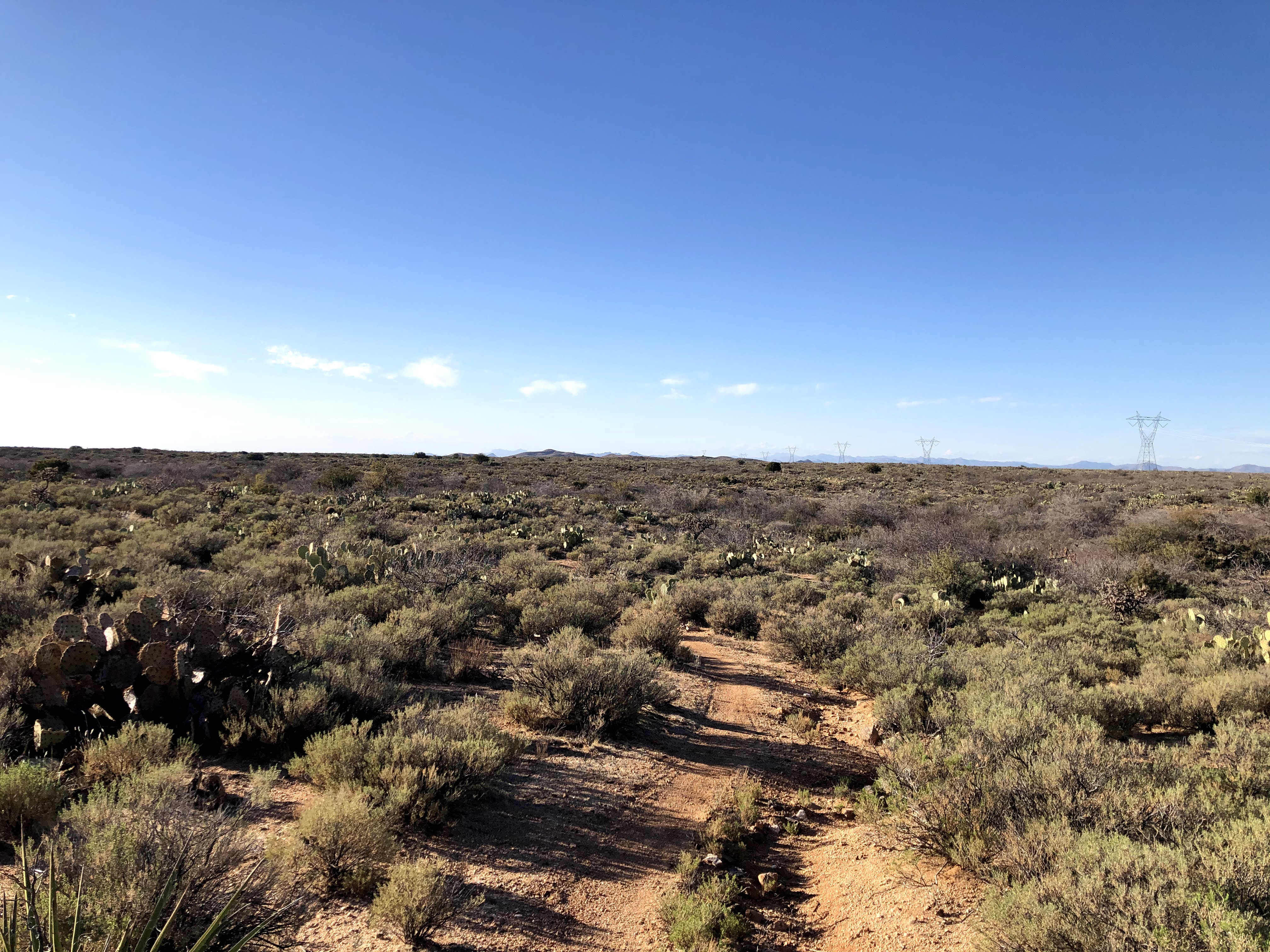
I got all packed up and rode the fairly short dirt roads up the to Tiger Mine trailhead. If you have never ridden this before, the beginning can be a bit frustrating because you drop in and out of a series of washes. Just be patient and work through them.
I dropped in from the trailhead and checked on the water cache. I didn't need any, but there was a decent amount. It's pretty slim pickings out there for water, so do your research.

 |
| The trail climbs moderately up to a high point before dropping down into the first wash. |
 |
| Big views opening up. First goal of the day is getting to that peak way in the background dead center. |
I saw a day hiker up ahead, he was stopped and trying to figure out how to get around a bull. It didn't seem to want to move off the trail, content to chomp on vegetation while keeping an eye on his lady friend a few paces up the hill. I pulled up and said, "hey looks like they brought out the welcoming committee!"
We laughed then tried to figure out how to either motivate the big fella to move, or get around him.
 |
| Hey dude, mind if we pass you? |
I walked closer with my bike, I think that made his lady friend move which is about the only thing this guy would move for. We had our opportunity to pass, so we took it.
 |
| Mt Lemmon in the background. Pretty amazing that I was up there just a half day ago |
 |
| Love this bit of ridgeline riding! |
 |
| This part is so fun - check out the ribbon of dirt to the right and in the distance. |
 |
| Making good progress... |
I said bye to Juliet, and had to make a bit of a climb to get out of the wash, it was warming up as it always does in here.
 |
| Cool coloring. |
 |
| Down below is beehive well. It is a large circular tank full of reliable, if green water. I filtered a bit here just for immediate drinking. Slammed down about a liter. |
 |
| Ahhh. Sand hiking. Saw some UTVs in here. They probably thought I was crazy. |
 |
| Views are cool to check out while walking your bike. |
 |
| Making the climb out of the wash. |
 |
| Antelope Peak within reach... |
 |
| I thought this cactus looked like a flying dragon. Maybe I was getting sun baked... |
 |
| I needed to apply more sunscreen, so I found the best shade structure available... |
 |
| Final hills before the approach to Freeman Rd. Thankful for some cloud cover. |
 |
| Freeman Rd TH. A literal oasis in the desert. A pretty reliable water cache is here. Took a decent break to eat. |
I had noticed some more consistent knee pain during the final climbs prior to reaching Freeman Rd. I've never really had that issue before, so I didn't know what to think about it...
I forgot about it as soon as I started riding to my next major destination - Ripsey!
 |
| Just fantastic flowy riding. Even though there was a headwind, I had to put very little effort into the pedals |
 |
| Classic self closing gate. Don't let the gate hit you on your arse on the way out ;) |
 |
| More beautiful riding in the boulders area. |
 |
| End of the ride is that way in those canyons in the background. |
I was losing daylight fast, and I knew I wasn't going to make it to ripsey hill before dark. I was now approaching a new re-route - called Cougar Hill - because the trail builder was encountered by a mountain lion out here. From what I know, it sounds like it was protecting a nearby kill. This was a while ago though.
 |
| Really fresh trail in here. Needs more tires. |
 |
| There were remnants of a dead cow back there, not sure if that is the same one or not. I'll just keep moving, thanks. |
 |
| This would be my last sunset of the ride |
 |
| Still not really close to Ripsey. I wasn't really excited to have to ride the descent at night to be honest. |
Going through Ripsey wash was a trip. I couldn't believe how warm it was in there. Normally washes will be the coldest area, but not this one. Plenty of sand to hike through before the real effort began.
As soon as the climbing started, I was walking. It was a long push to the top, and my knee wasn't happy. Uh oh.
I continued on, and the wind was really whipping at the top. I took my time on the ridgeline, soaking in the the lights from various parts of the state. Then, I figured I needed to get off of here. The whole day I was planning on getting a good amount of riding past the Gila River bridge to set myself up for the final push to Picketpost. The pain in my left knee was now causing pain in my right due to compensating for it. To top it off, and what was likely the final nail in the coffin, was basically hiking down from Ripsey. I was beat, and had much less coordination. It was super dark, and even with my lights I just didn't really feel safe trying to ride due to steepness and some pretty good exposure.
I had to formulate some kind of plan here. So I decided to get to the AZT trailhead at the Florence-Kelvin Hwy, where I would sleep and hope that my knee would be happier in the morning. I would have a pretty good opportunity to test it out on a short section between that trailhead and the bridge. If it was good, I would continue, but if not, I would have to scratch.
Here's the thing, the last thirty miles of the route are arguably the toughest. It is very remote and vehicle access to anywhere in there is virtually zero. Not to mention cell service is super limited, so just not a good place to be if things went south.
With all of that stuff flying through my mind, I crashed out pretty easily under the new-ish shade structure at the trailhead. I wasn't going to get up early, I would be OK with finishing near sunset or after the next day if it came down to that. Wanted to give my knee as much rest as possible.
Total for the day (with the next day's short ride added in) 57 miles and 7000 feet of climbing.
Day 5 - Ripsey TH to Kelvin ADOT yard lol
I woke up and walked around a bit - hmm feels kinda OK. Packed up and got ready to hit the trail.
 |
| Not a bad spot to crash out... Let's see what the knee can do. |
There is a slight rise in the trail to reach the parking area above. I put some power into the pedals and *zing zing* in both knees. OK, no worries, they just need to wake up. I spun around the parking area and made my way to the AZT on the other side. There are some fun ups and downs to evaluate everything on...
 |
| I couldn't climb *this* without troubling pain. Um, this isn't going to work. |
Out of anger and frustration and sadness, I yelled out "FUCK!" I was so close to the finish by the mileage numbers, but I really wasn't anywhere close. The quickest I have ever done this final push is a touch over eight hours, and that was without bikepacking gear. Based on my riding this time around, I was estimating eleven or twelve hours. My eyes welled up a bit, knowing I was going to have to pull the plug.
 |
| Called it, I'm out. |
 |
| Well, this is pretty. I wonder if I have service. I gotta let people know what's going on. |
I had LTE here, so I let John know, along with my sister. Then I texted my great friend Marcus - he told me if anything went wrong during the trip to let him know and he would rescue me. I threw up the bat signal and continued on.
 |
| Really cool bit of trail here. It goes on longer than you would expect. |
I thought I heard some weird music or cows or something. Then I realized it was my phone ringing. It was Marcus. He said he could make his way out after noon. I said cool, I 'll try to find another way out but if not I'll see you in a few hours.
 |
| The spot where I talked to Marcus on the phone. |
 |
| Water brings life to the desert, and the Gila brings these trees |
 |
| And there it is. The revered ADOT yard. A water spigot and some benches and chairs. Oh, check the javelinas by the road and hiding under the tree. |
 |
| Thee trees weren't very good at casting shade yet, so I turned around. I was eating poptarts and corn nuts for breakfast COME AT ME BRO IDGAF! |
It was a slow morning in Kelvin to say the least, being early on a Sunday. This isn't a well travelled road anyway, so I wasn't expecting much. However, it does have that small town vibe, so some people pulled off and asked if I was OK or if they could help. Nobody was willing or able to take me to Picketpost. No worries.
Then a truck went by with a bike in the back. He stopped, I think his name was Greg but I can't remember. He was getting ready to do a shuttle ride, but asked if I needed anything - I was like "you going towards picketpost?" - he said yes, but not for many hours. Oh well.
Then another vehicle shows up with MTB's. Hey, it's Igor! He explains they are getting ready to to a big shuttle ride, but "hey.. want a beer?"
Hell yes I do.
Two ice cold beers appear in my hand and boy oh boy I don't think I've ever had beers before 9am before but that was a great decision. Thanks Igor!
 |
| Igor (passenger seat). Thanks dude, you made my morning so much better. |
I had my breakfast beers on top of my pop tarts and corn nuts. And to say that beers hit a bit different after four days riding and sleeping on dirt is an understatement.
Eventually, Marcus showed up and we tossed my bike and stuff into the back and I sat my disgusting body in his car. It was a relatively quick drive to picketpost.
 |
| Official "DNF" Photo |
I changed out of my clothes into some clean stuff I had left in the truck. Marcus took off, now I just had to drive 90 minutes home. Oh, and I drive a manual, so my left knee reminded me that it was still mad during each gear change. Good thing it's almost all freeway.
As I sit here a few days after getting home, I really take away a few things.
1. I did this ride based mainly on indoor trainer rides. It wasn't optimal.
2. I was extremely happy with my ability to keep moving for many hours per day. I think my latest start in the morning was 7:30 while my earliest stop time at night was 11PM. I never felt crushed at the end of the day.
3. I did a lot more downhill hiking for several reasons. Nightime descending, being solo, etc. I think ultimately this is what pissed my knees off.
4. I'm looking forward to a more balanced approach to training in the future. Stoked to figure that out.
5. Damn, this trail and event is awesome.
6. Knee is still kinda mad, not during regular walking, but going up/down stairs and pressing that damn clutch pedal!
7. I really want to get my stuff together and make another solid run at this thing. Someday...


Great write up and job, even though you DNF. I hope to participate next year.
ReplyDeleteAwesome! Enjoy!
DeleteThat's an awesome ride Mike! Kudos for having the wisdom to stop!
ReplyDeleteThank you! I really did have a great time out there pushing my own personal limits. Glad I stopped when I did - knee is being slow on the recovery. I'm already itching to get back out there to relive it all over again.
ReplyDelete