There is a new optional portion for the AZTR 750 racers this year - it's much tougher but gets more riders on actual AZT which is the point of the race right? I've been lucky enough to talk and ride with
John a few times over the last 5-6 months all with the point of route scouting/trail maintenance.
The first attempt was supposed to actually accomplish all of that... working our way from essentially Lost Dutchman State Park to Deer Creek Trailhead right at the 87/188 junction.
We got shut down pretty hard by the route back in November. The combination of a warmer than usual 1st day combined with a pretty brutal climb up four peaks road, and full bikepacking gear (and at least me being
pretty very out of shape) lead to us cutting out all the maintenance we had planned as we altered the route drastically just to get back to the cars the next day.
We tried again in early December to work on AZT section 22 only to be foiled by death mud and questionable weather (and a newly closed road) that put the final nail in that day.
So here we are about 11 days prior to the start of the AZTR and we finally made our way through the area. I've been getting more riding in, so I felt pretty decent the whole day. It was still a stout climb up 201 with the AZT being typical AZT. We were spared a bit by Goldridge. It was surprisingly clear. Someone has been giving it some love so there was much less work to be done that expected. Sweet.
 |
| We both brought loppers with us. Hell JS brought a legit hand saw as well. Here is JS assuming the position |
The AZT does AZT things. This typically means some really sweet track, combined with some really rugged stuff. You just never know what it's going to throw at you, or when. I kinda love that though.
 |
| Some really nice bits of singletrack |
 |
| John clearing a rocky section after the underpass |
 |
| AZT and gates go hand in hand. About one per mile it seems like. |
 |
| So much vegetation. Sometimes the trail was just barely visible. FYI, don't ride this section when it's wet. |
 |
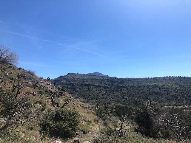
| Mt Ord high above |
 |
| These signs are pretty rare. Almost the half-way point between Mexico and Utah. |
 |
| This sign is very rarely visited if I had to guess. Not super convenient to get to. |
The sign above put us on some road for a bit. It's closed on one end so there is hardly any traffic. We saw one car towards the end. It eventually turns off onto dirt then the grind begins up 201.
 |
| It's a steady but pretty rideable grade almost the whole way up 201. I think we hopped off a couple times for some HAB |
 |
| Gaining elevation rapidly. |
 |
| Grabbing some shade while letting JS catch up. I'm glad he had a busy weekend of riding/skiing - this helped me not be holding him up as he was pre fatigued! #strategy lol |
 |
| It doesn't really come across in photos, but this hillside was just covered in poppies. |
 |
| The last switchback ahead. There are big trees up there. It's a really neat transition. I know I was ready for some shade. It was the warmest day in AZ in quite a while. |
 |
| This rock was awesome. It matched my bike almost perfectly. |
 |
| Finally hitting Goldridge. What shape would the trail be in? |
Goldridge was a hoot at the top. Just the perfect grade to just fly and not much vegetation. We stopped a few times to trim up some small areas and/or move small logs. JS used the handsaw on a few.
As we started to get a bit lower a couple larger sections weren't bad, but had potential to start encroaching a bit, so we were a little bit preventative there. Then the trail started getting STEEP going downhill. Just fall line pretty sketchy stuff. We both walked a couple decent sized descents - neither of our cup of tea.
 |
| JS taking in huge views. We have a long way down and not a lot of mileage left. Brake burner for sure |
 |
| Roosevelt Lake way in the distance. |
 |
| This section was amazing for flowers as well. |
Eventually the trail mellows out as we approach the freeway and we let it go a bit more. Be careful though because there is so much vegetation that it would be easy to hit a decent sized rock and go OTB or similar.
All in all, it was 7.5 hours to cover about 23 miles of beautiful terrain. That's about as typical as a Schilling ride gets. Awesome.


